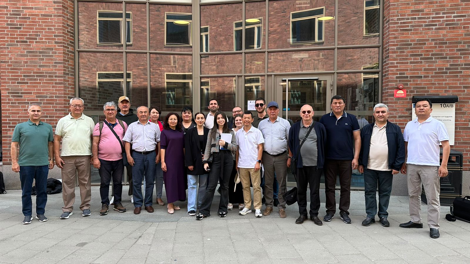
Field monitoring visits to organisations in the Partner Countries are particularly important in order to evaluate the impact of the project in these countries and to assess the sustainability prospects of the project outcomes.
These visits provided an opportunity to ensure sound and effective management of the CBHE funds and at the same time provided increased visibility of the EU support in the target countries.
Some of the activities carried out during the visits to the Partner Countries were:
- Received feedback and reports from partners about the development of project activities and potential problems
- Meeting were held with students and social stakeholders to collect opinions about project implementation and dissemination
- Analysed the relationship between partners and identify communication lacks
- Discussed and proposed solutions to improve the efficiency of the project
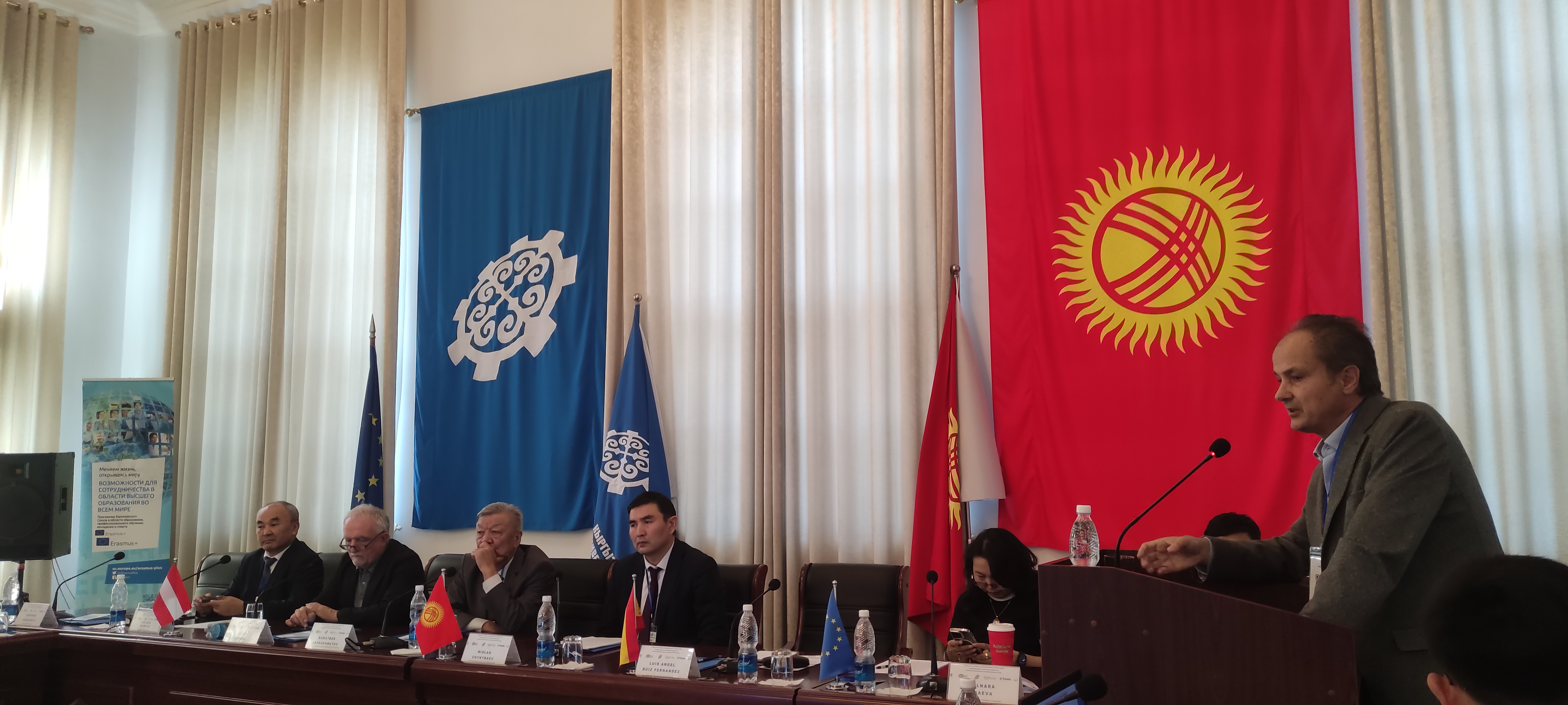
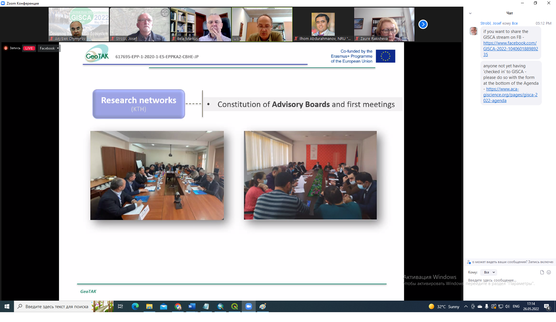
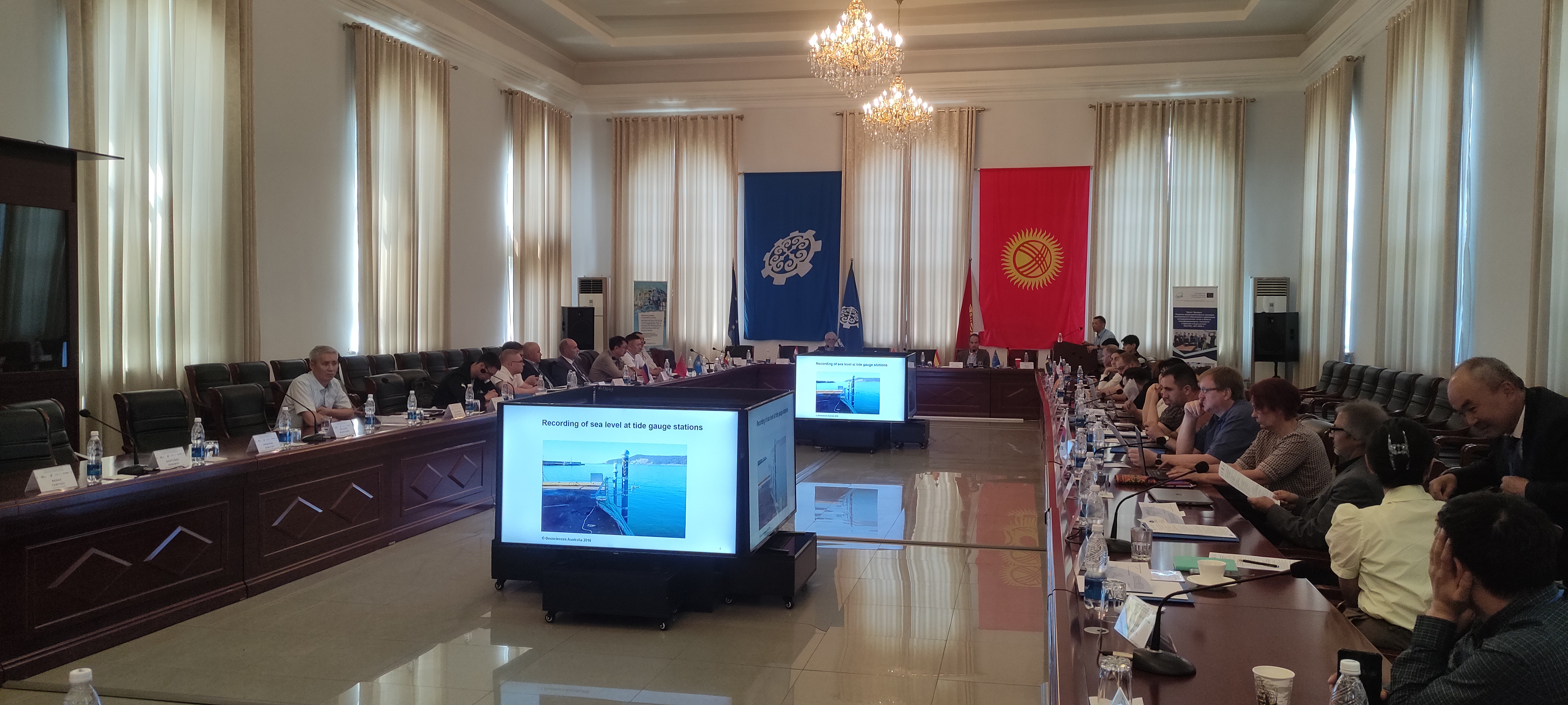
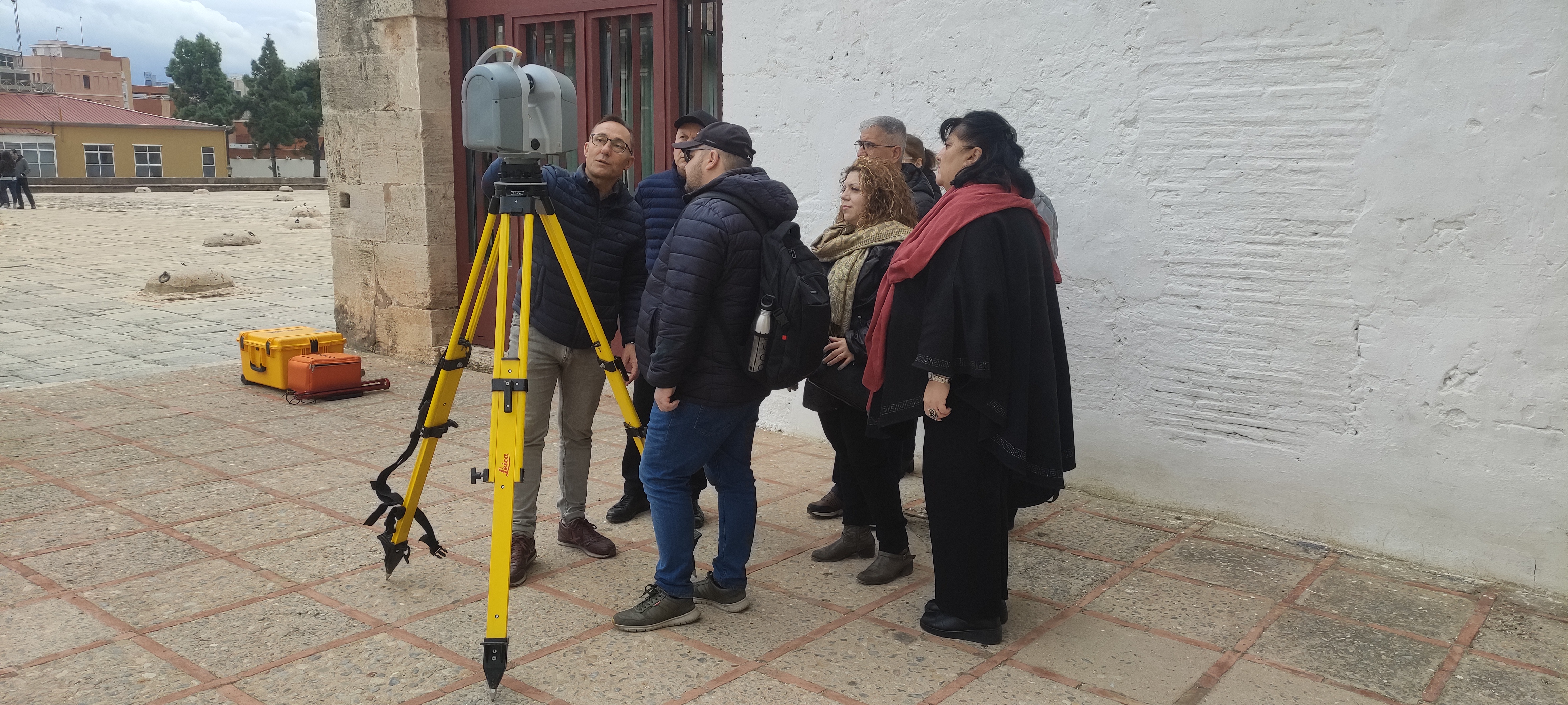
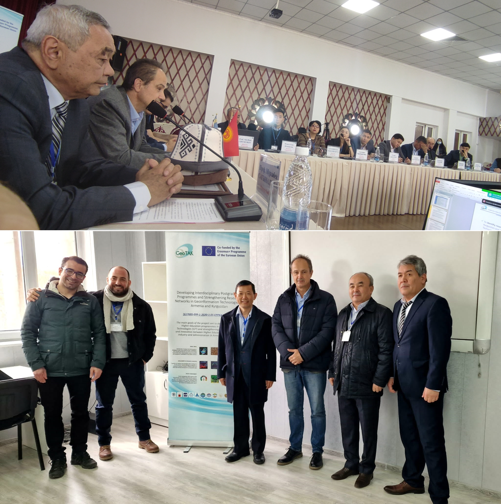
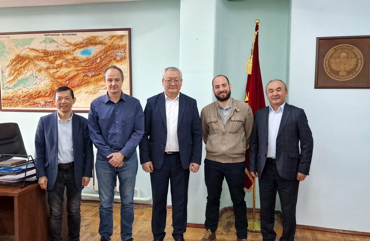
European partners visit Goscartography in Biskek on March 26th, 2022. More news.
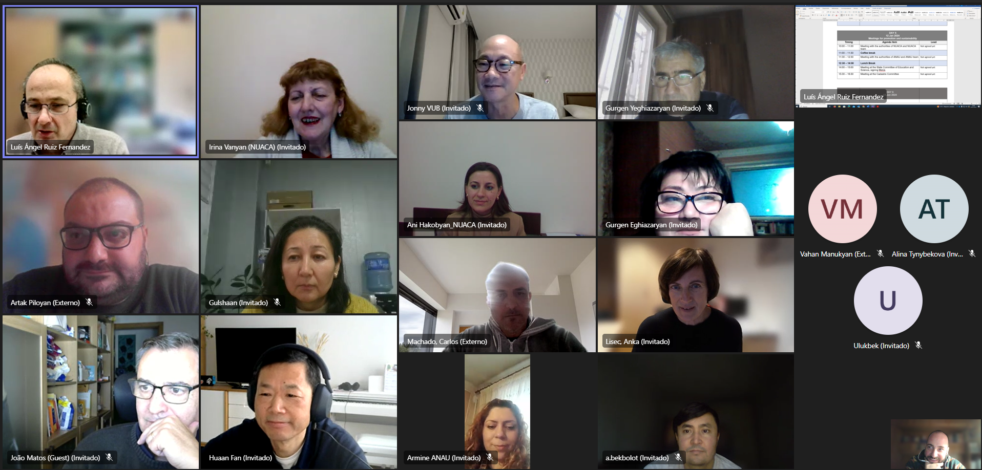
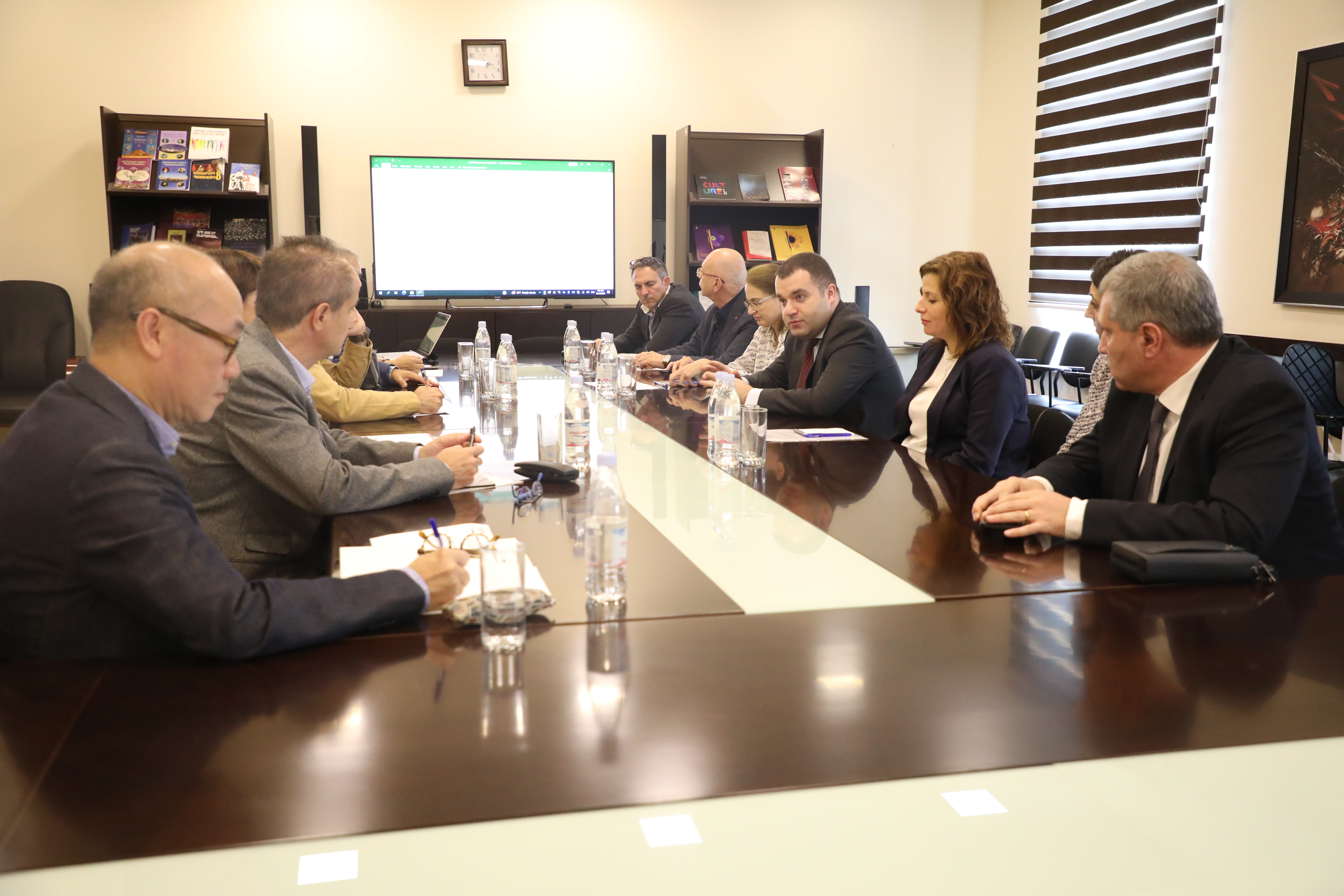
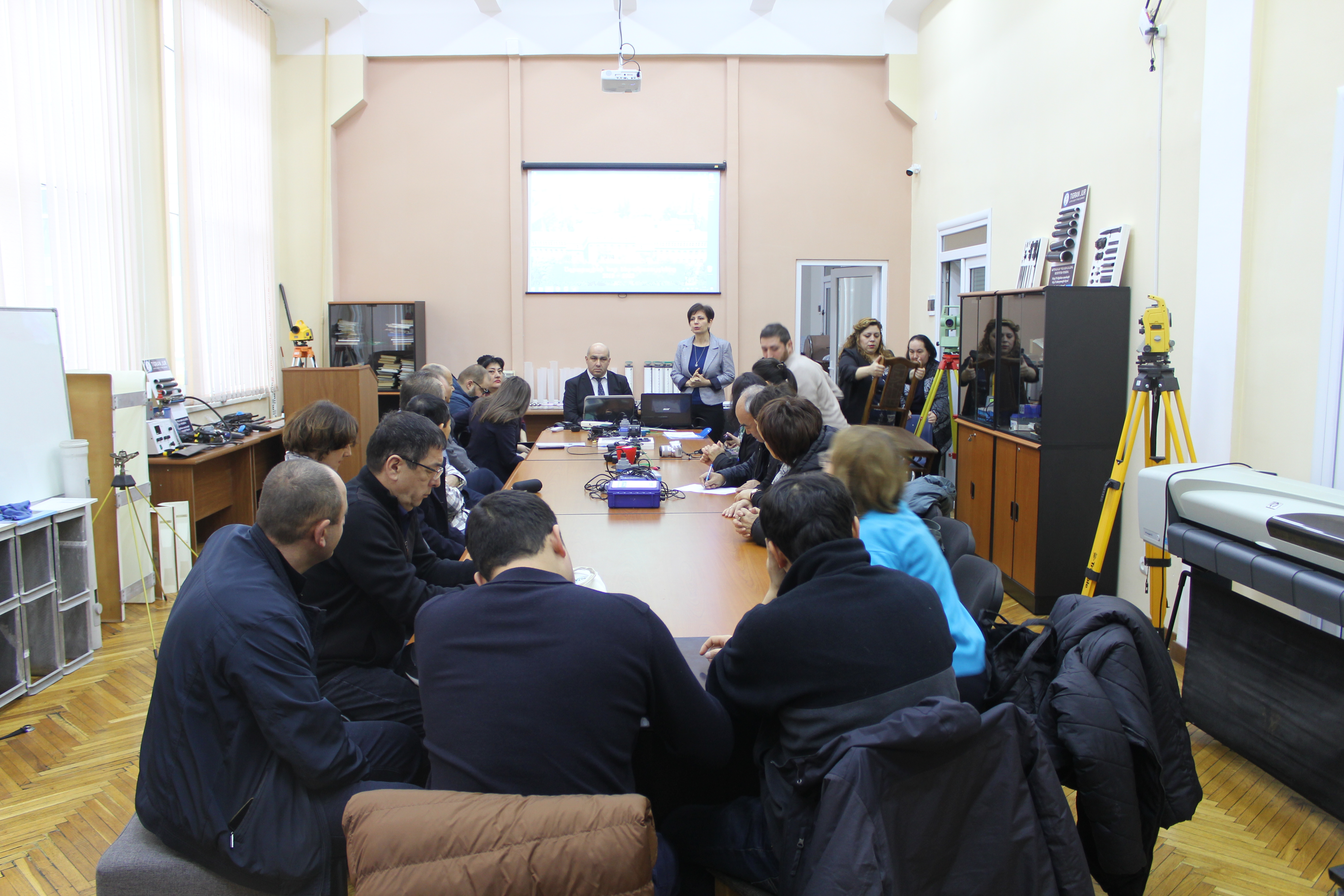
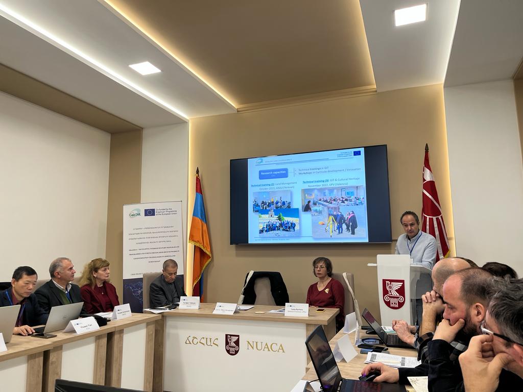
Meeting with the Rectors of ANAU, NUACA and YSU on October 14th, 2022. More news.
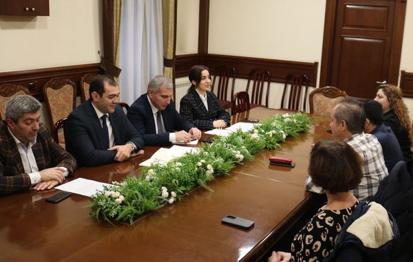
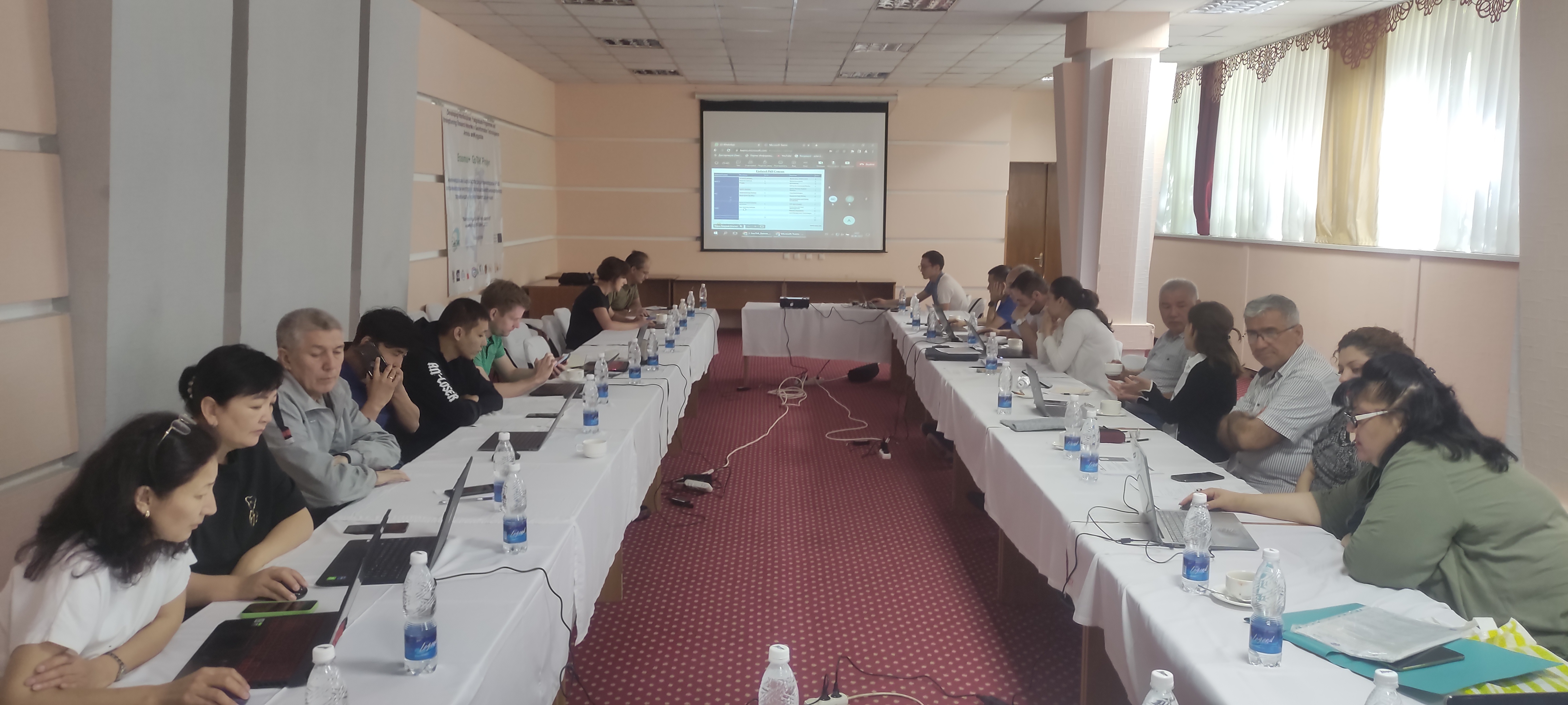
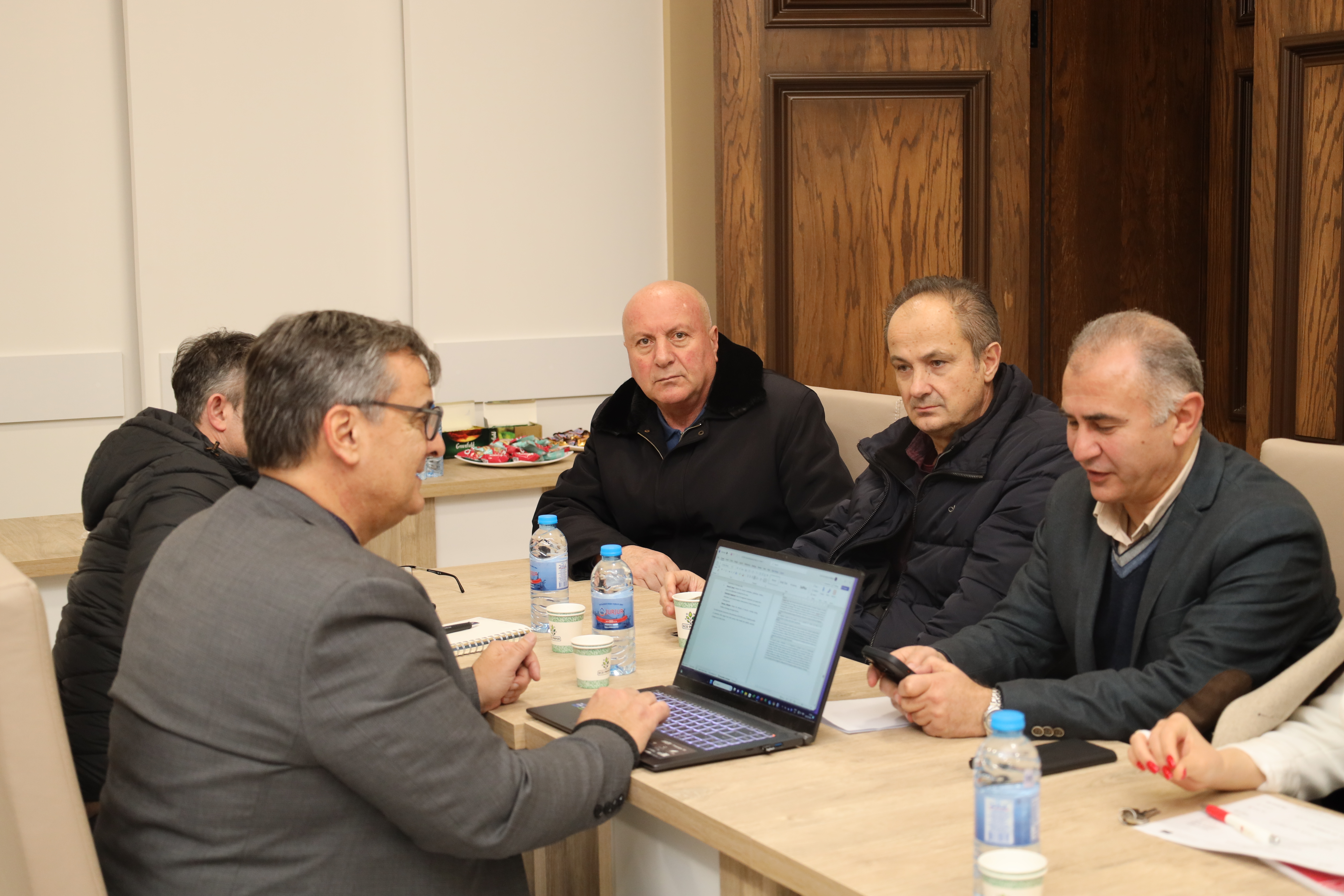
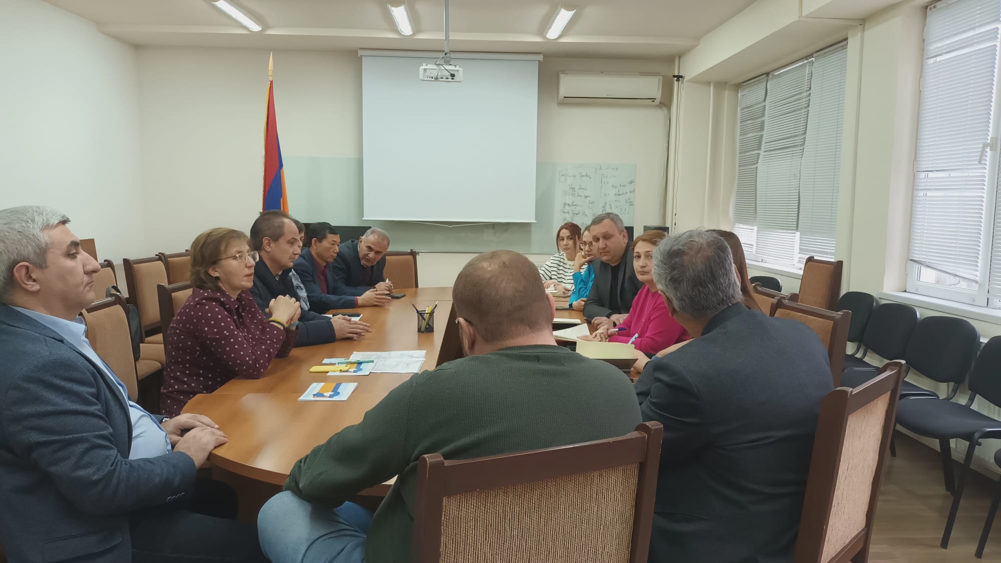
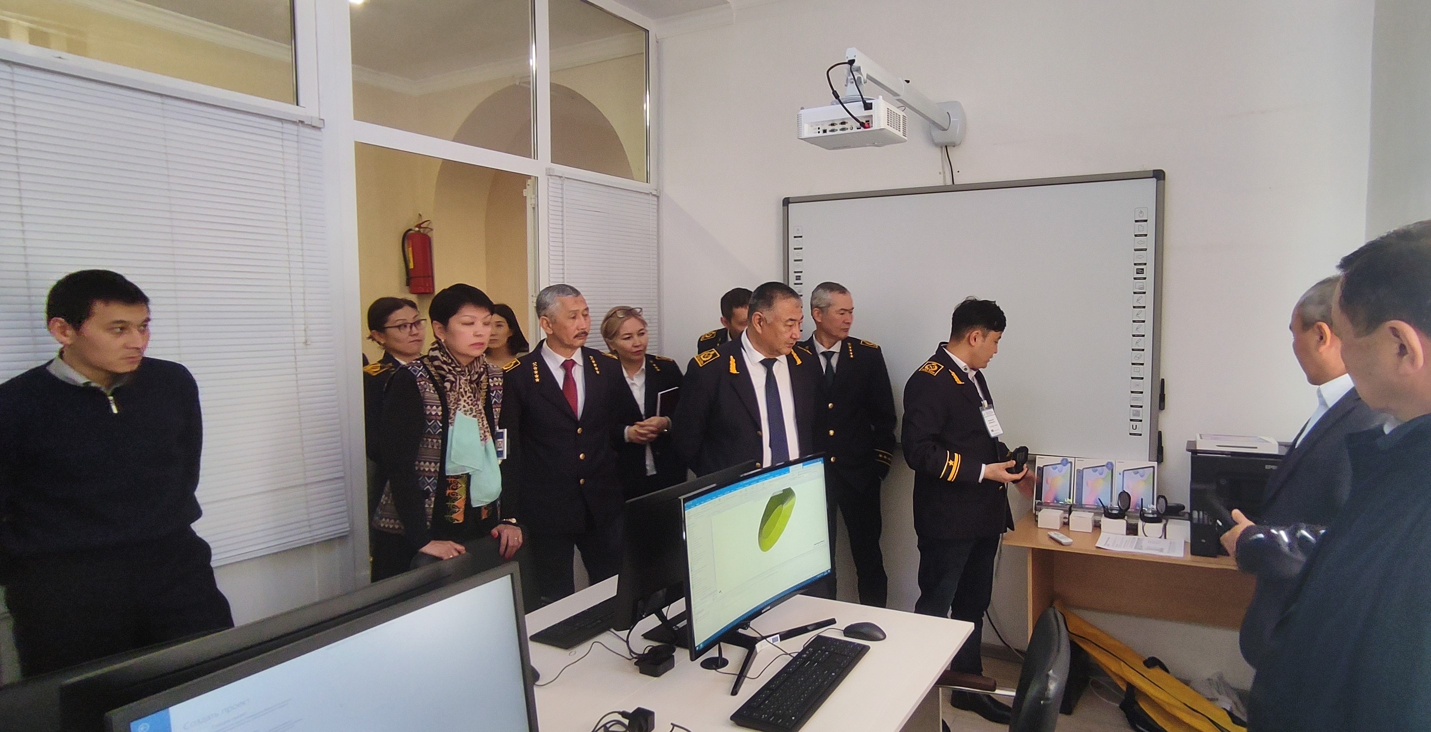
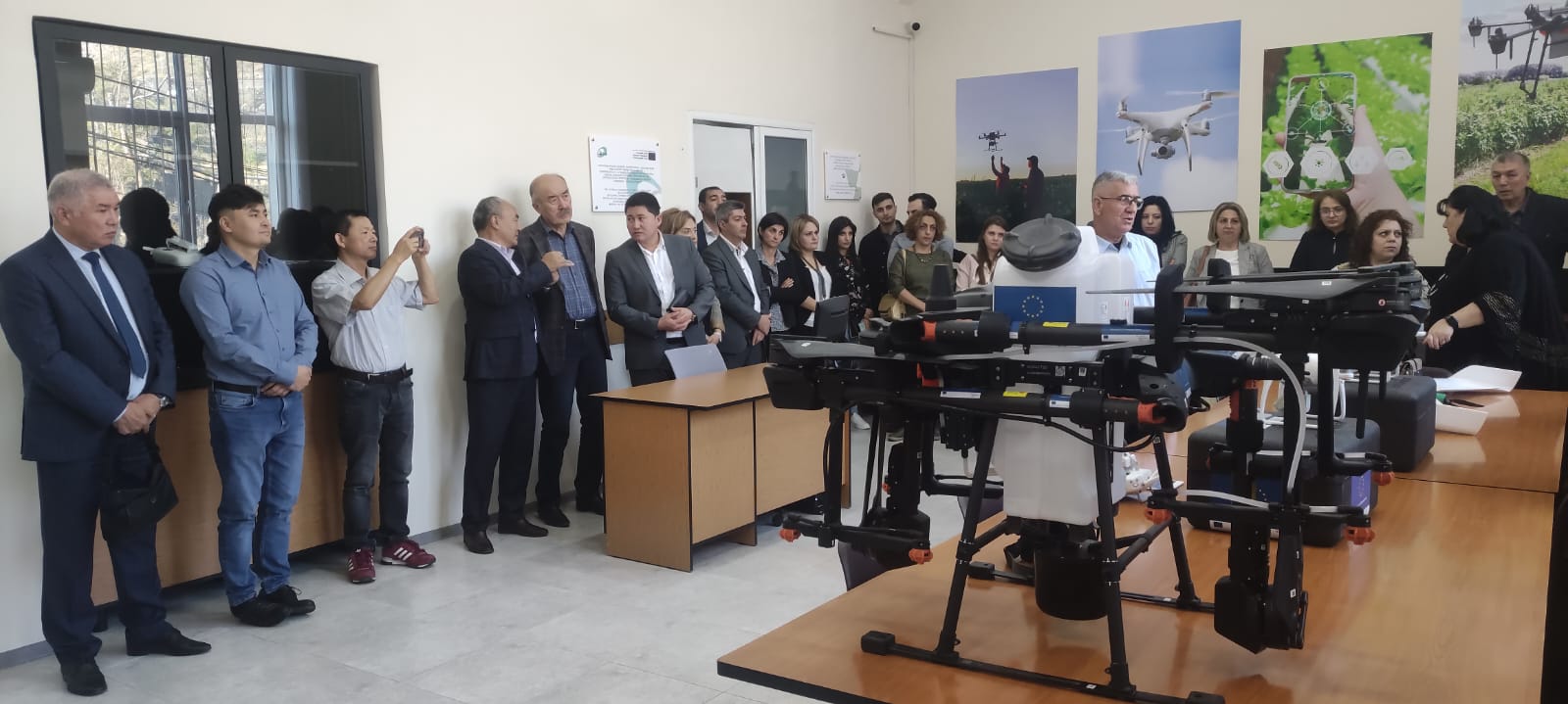
Meeting with the Rector of OshTU on June 1st, 2023, to discuss the implementation of the new Ph.D. program and the activities carried out in the IWM laboratory created by the project in 2022.
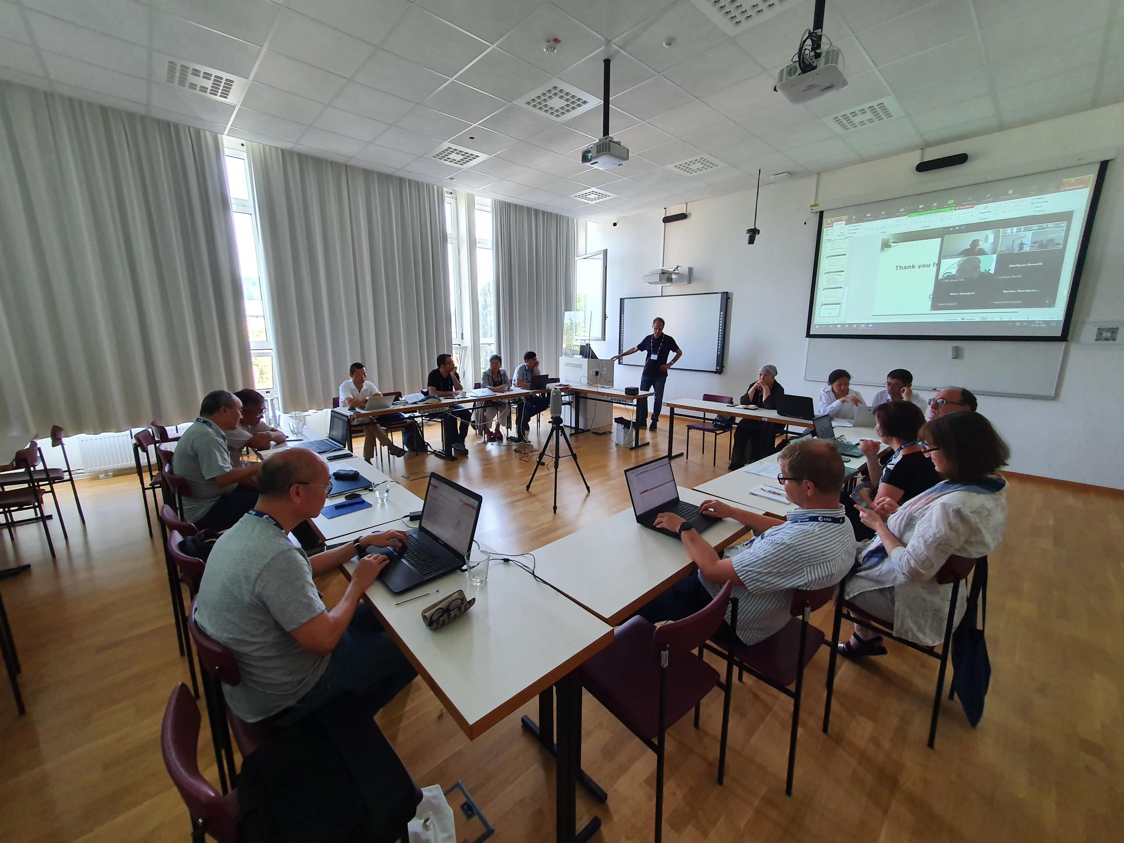
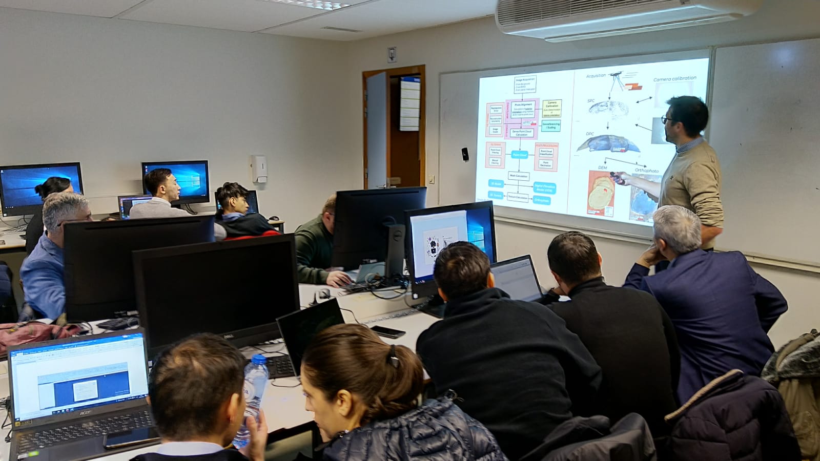
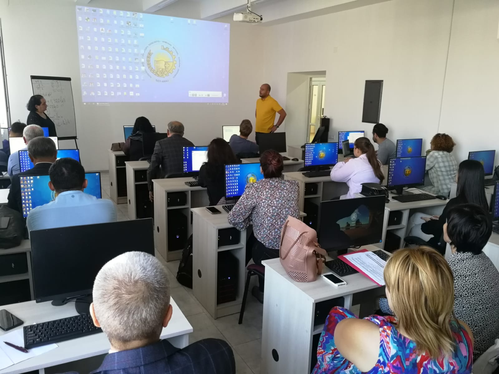
Meeting with OshTU teachers to monitor curriculum development, June 3 2023. Attendance list.
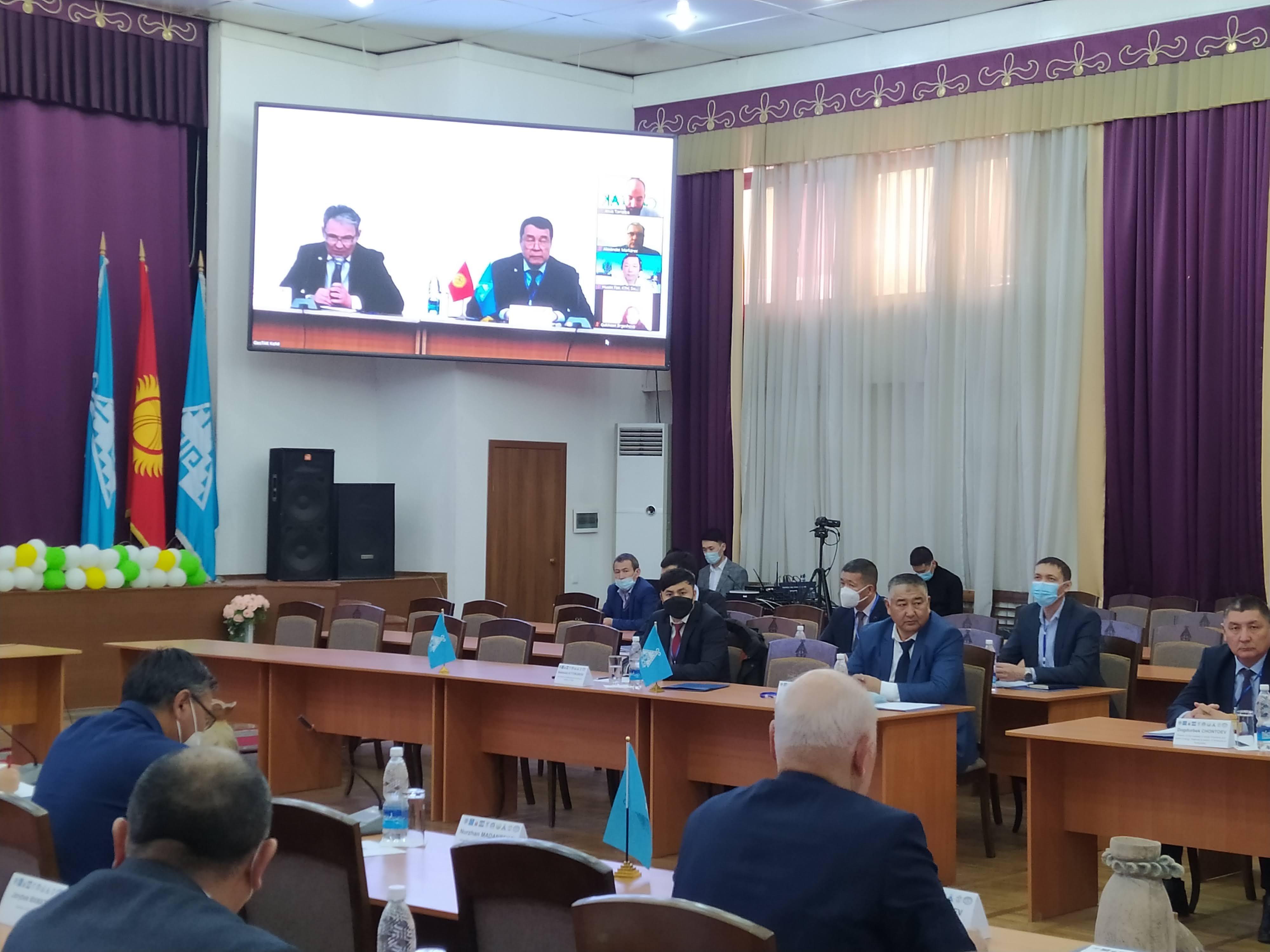
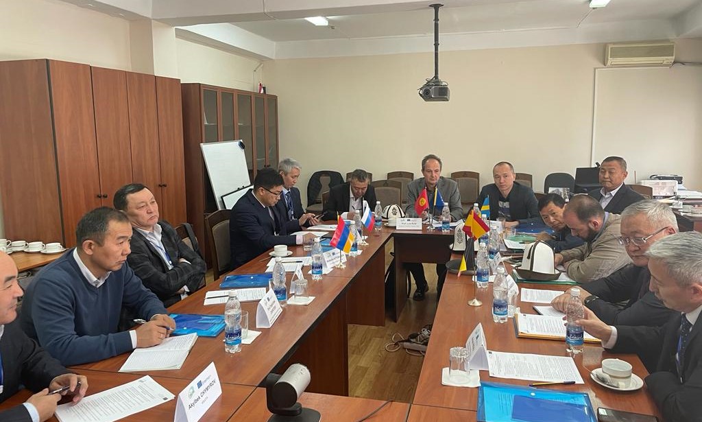
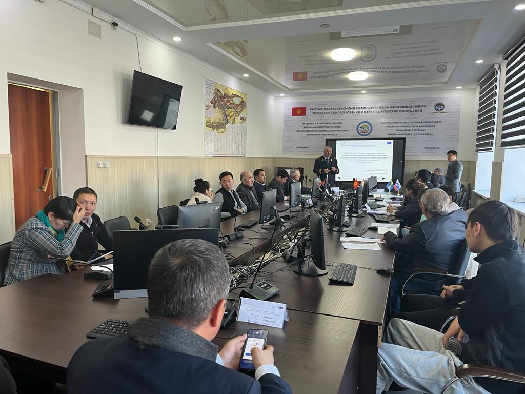
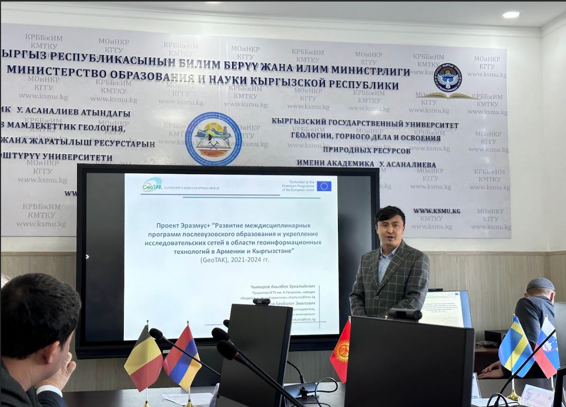
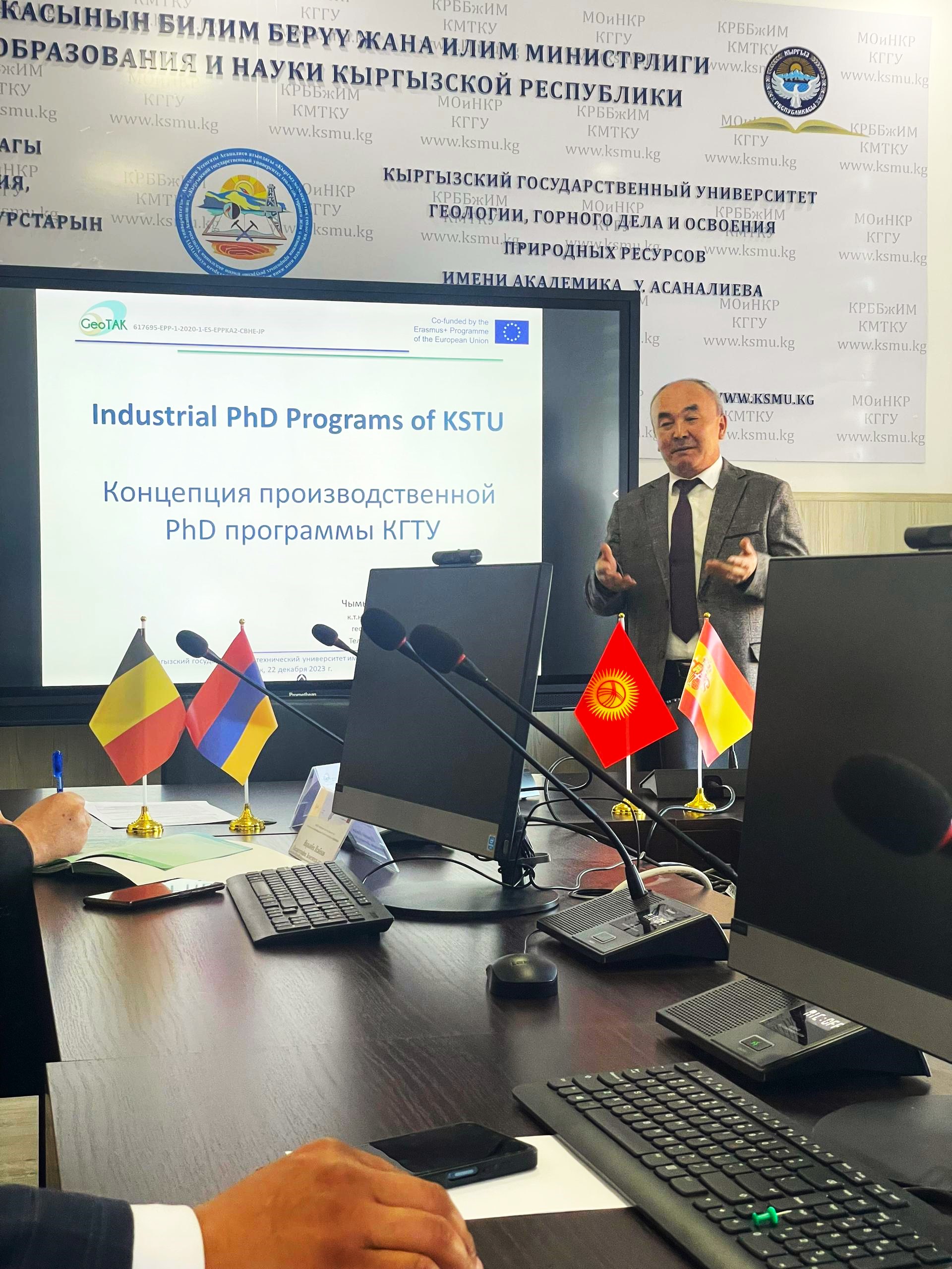
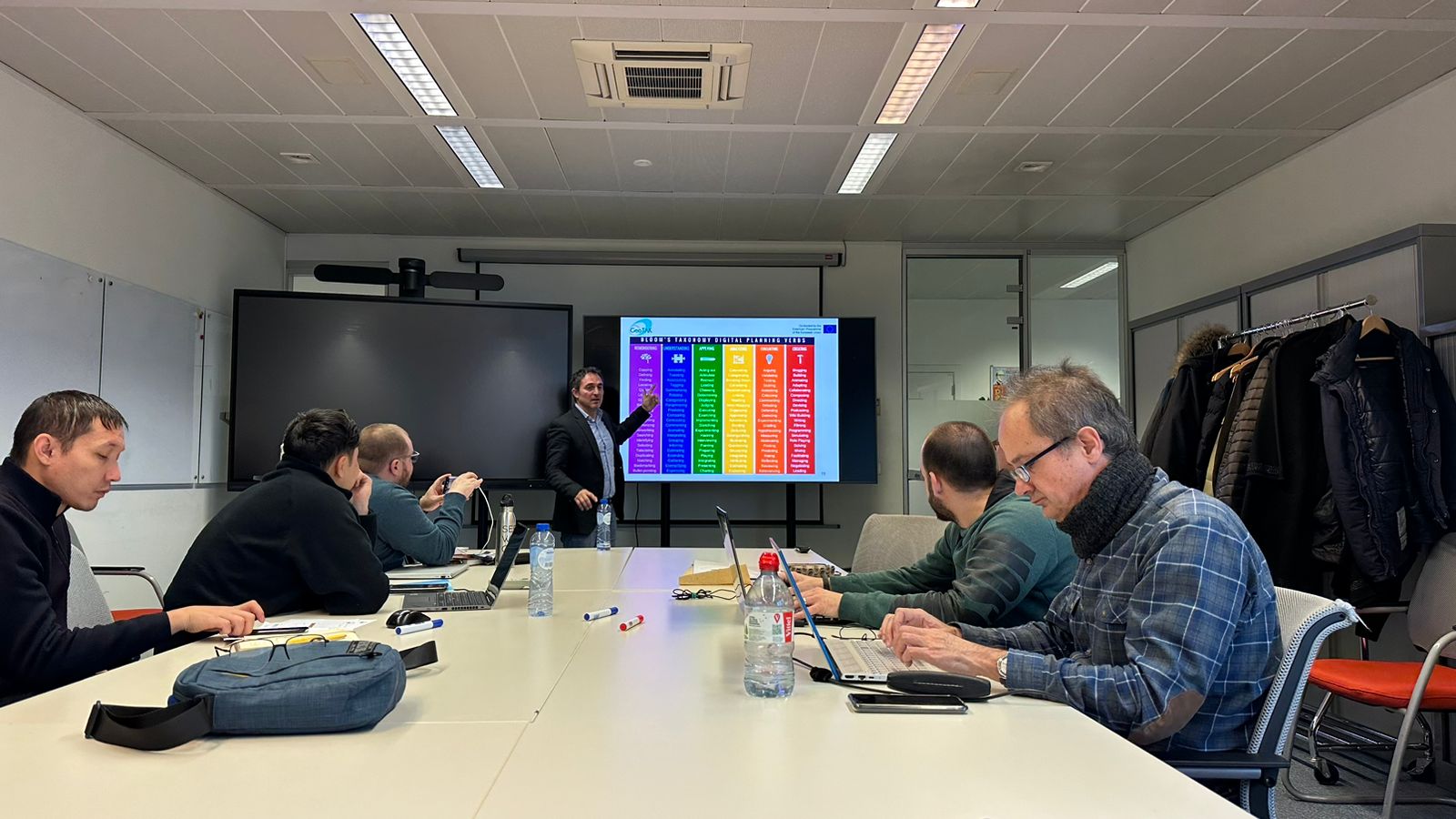
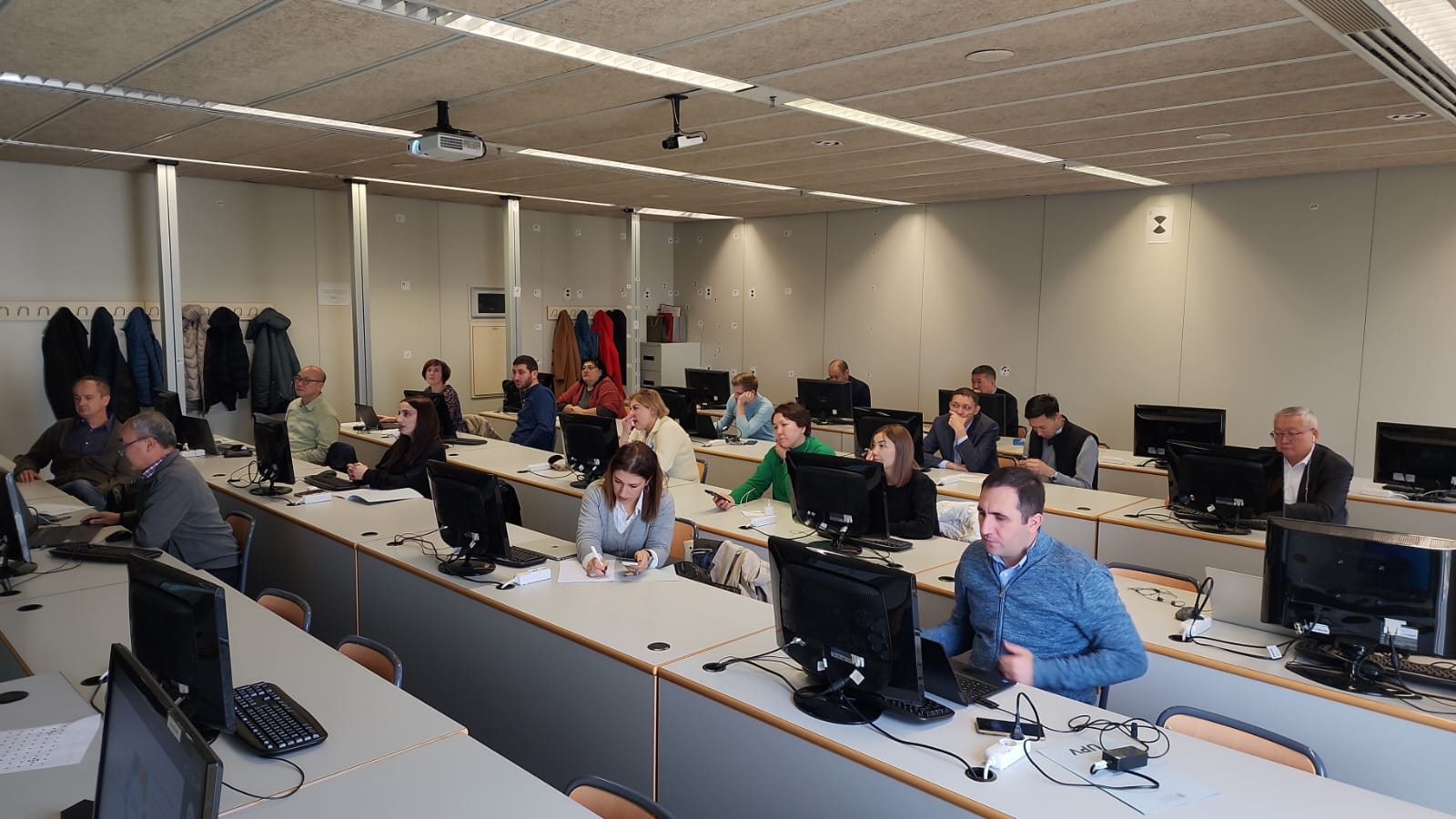
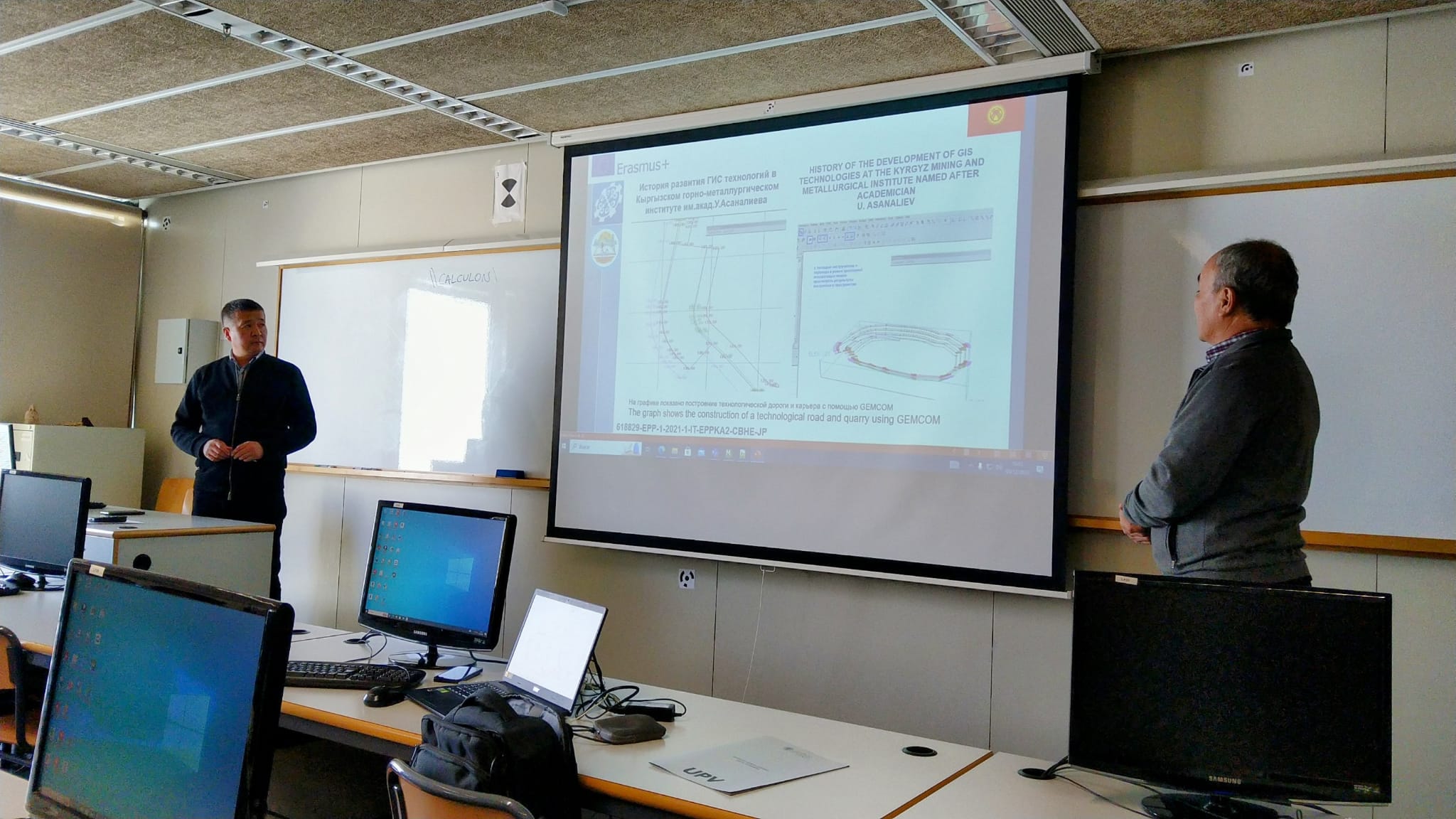
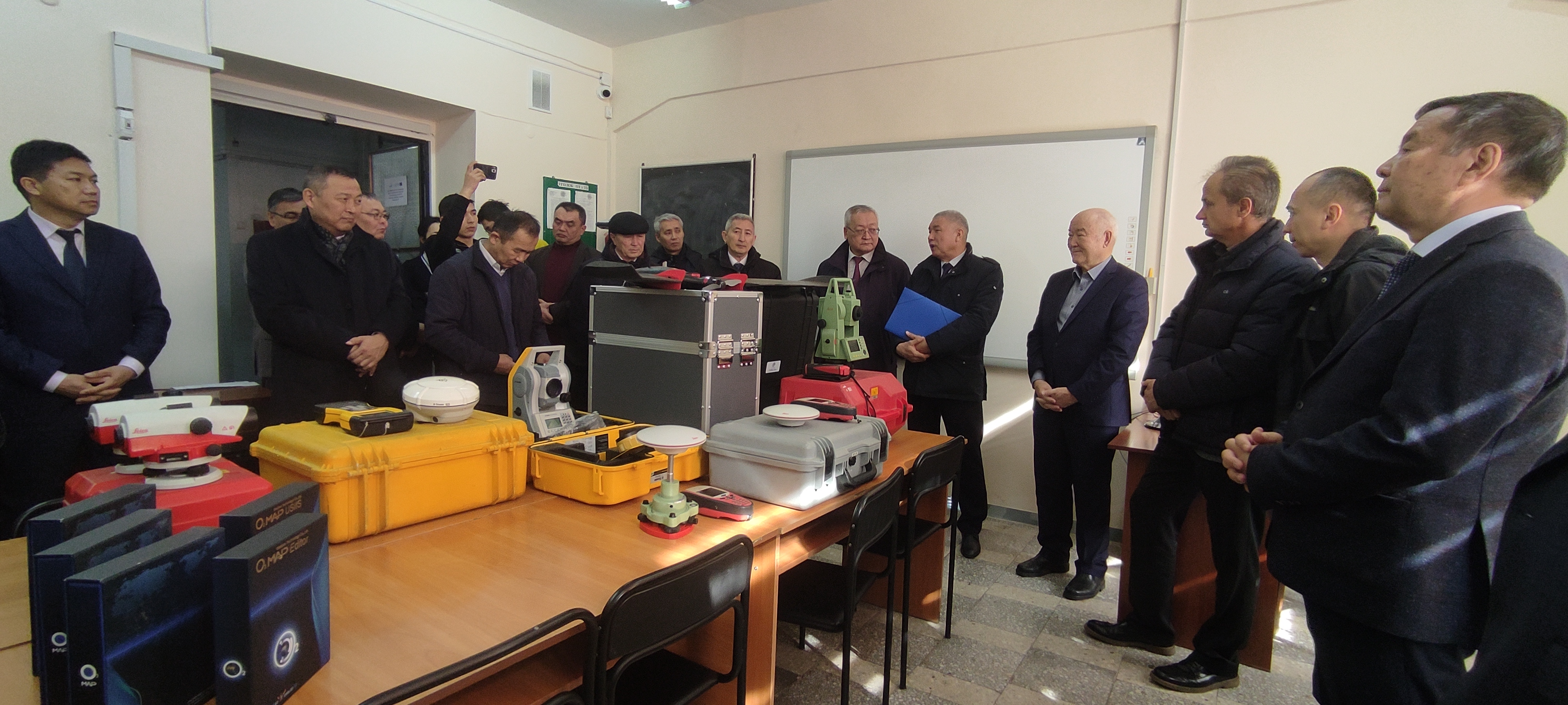
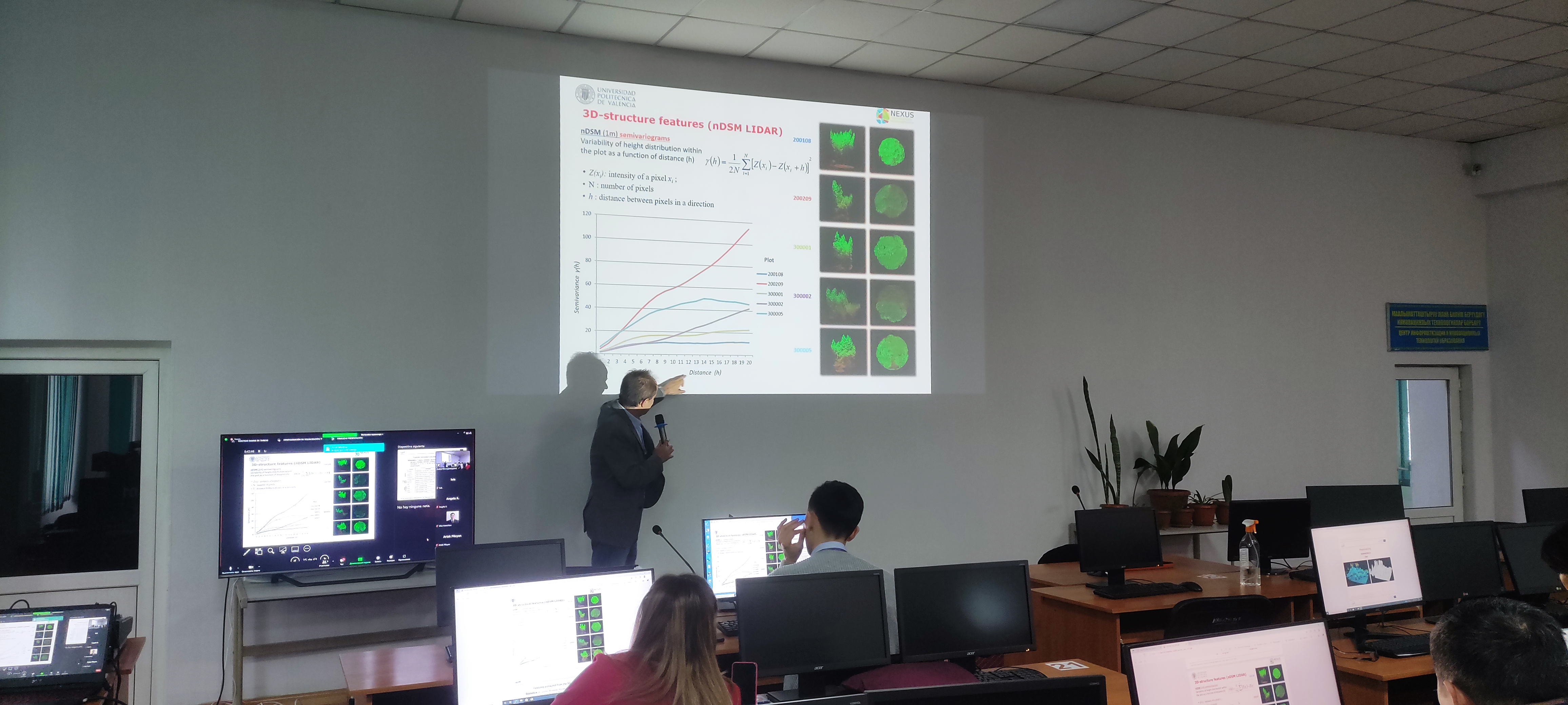
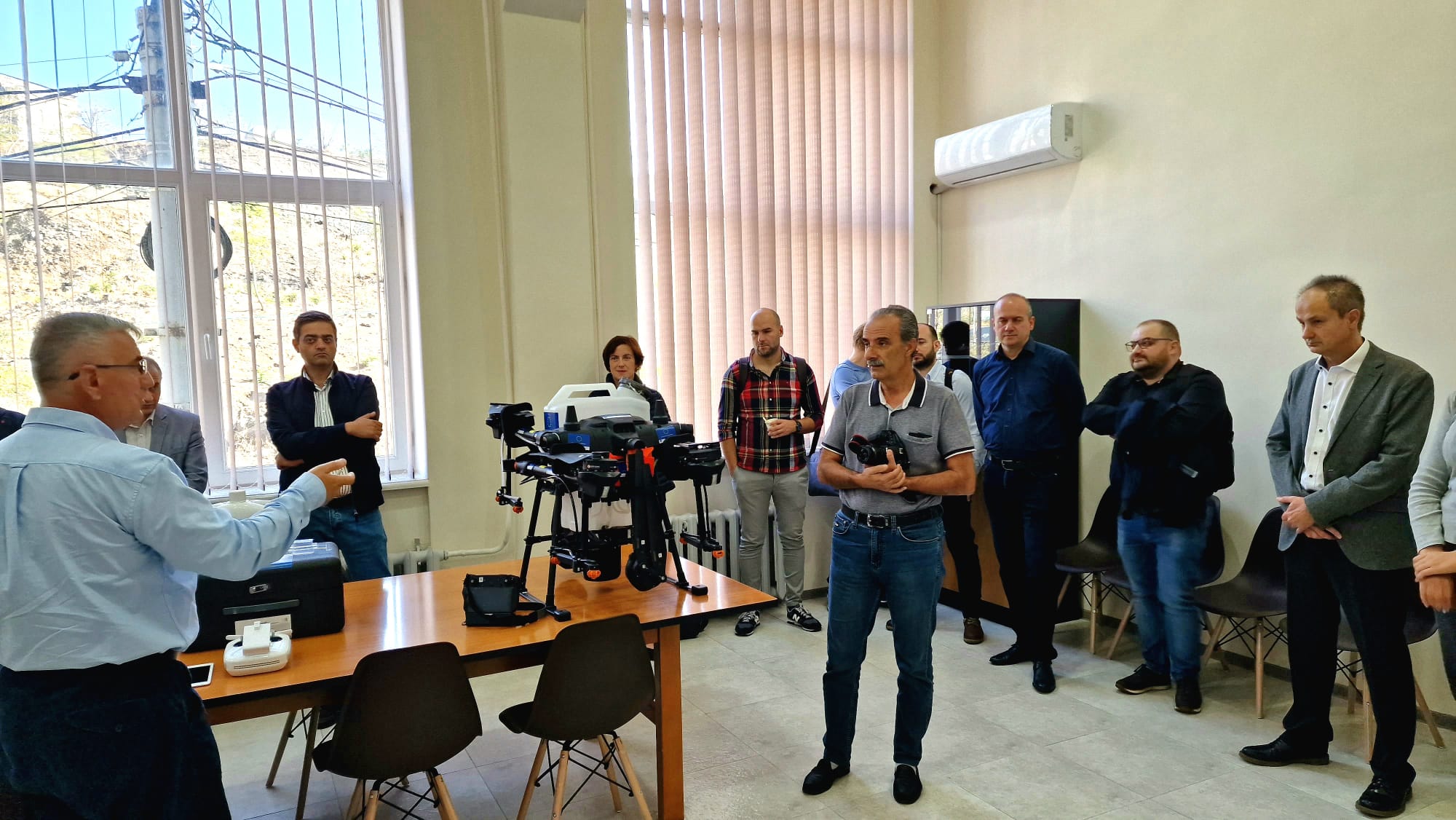
Meeting with the professors of KSTU on June 6th, 2023, to discuss the programs of subjects of the new Ph.D. program and the activities carried out in the GIT laboratory created by the project in 2022. Attendance list.