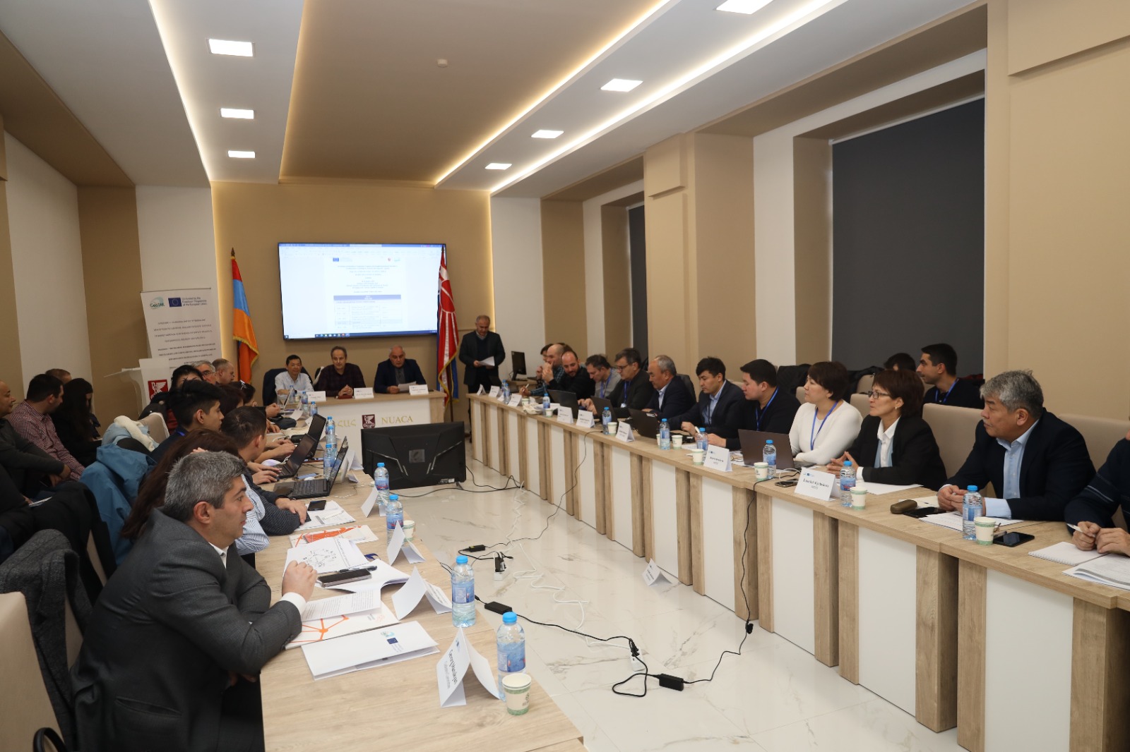
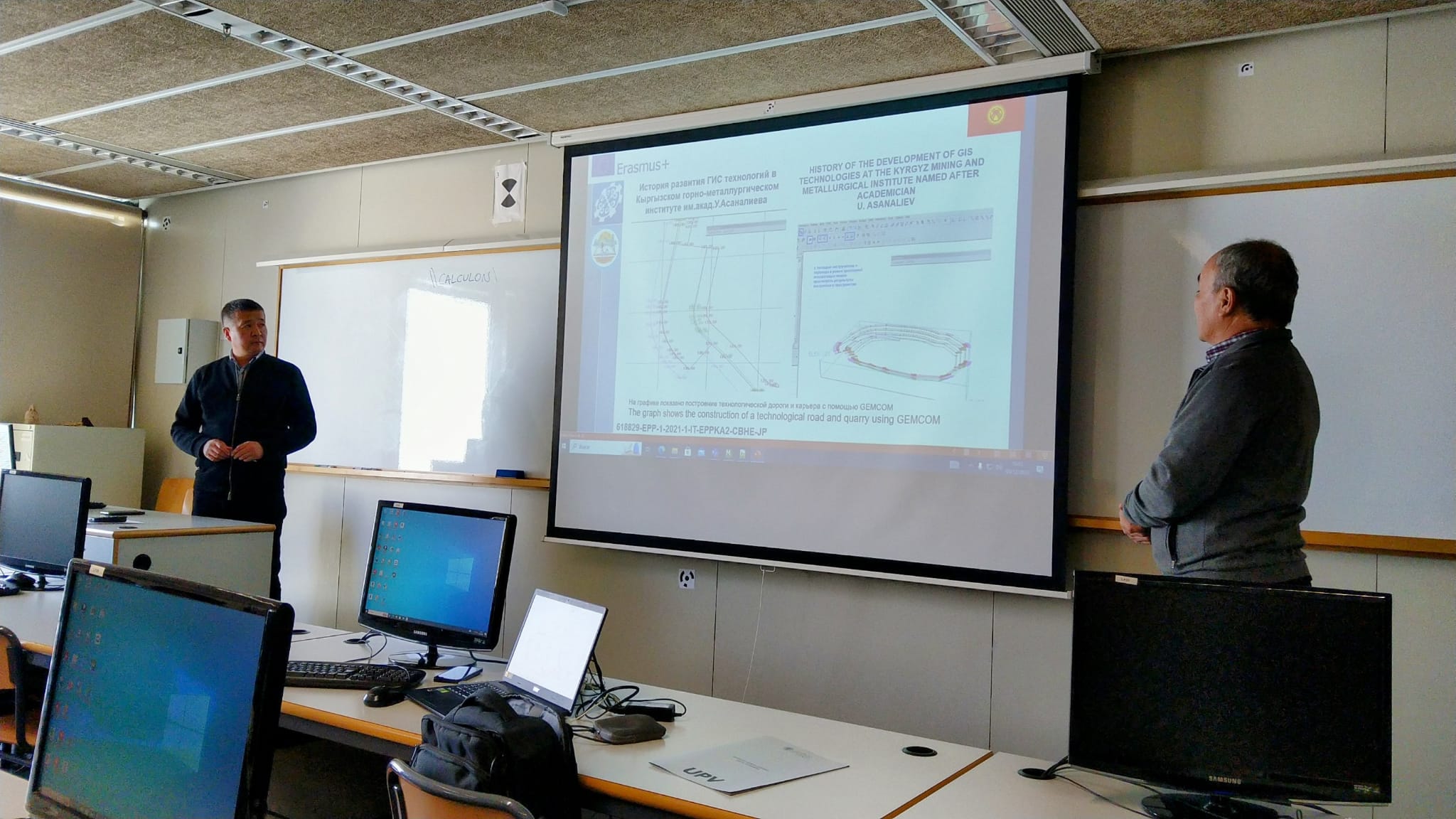
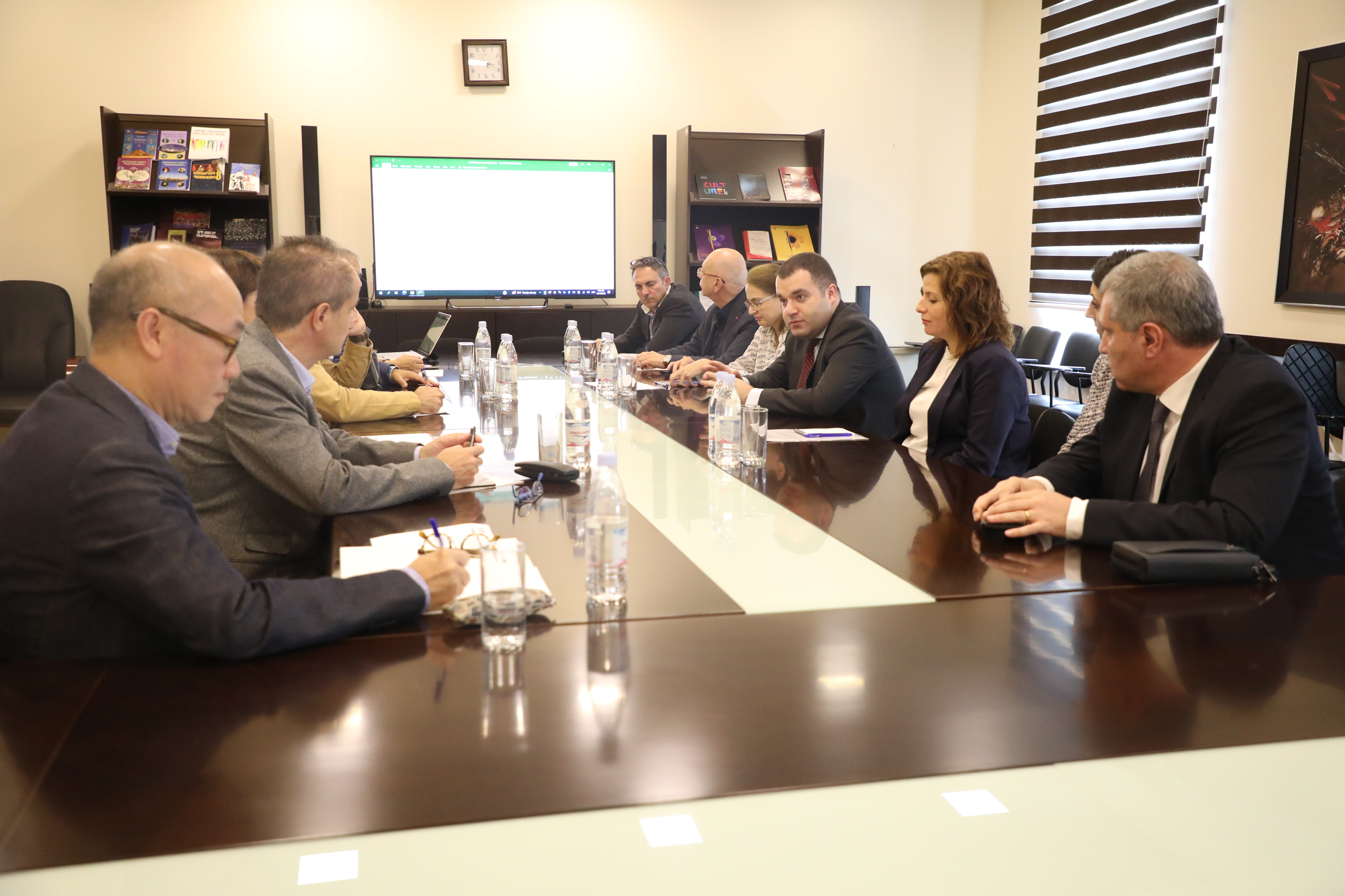
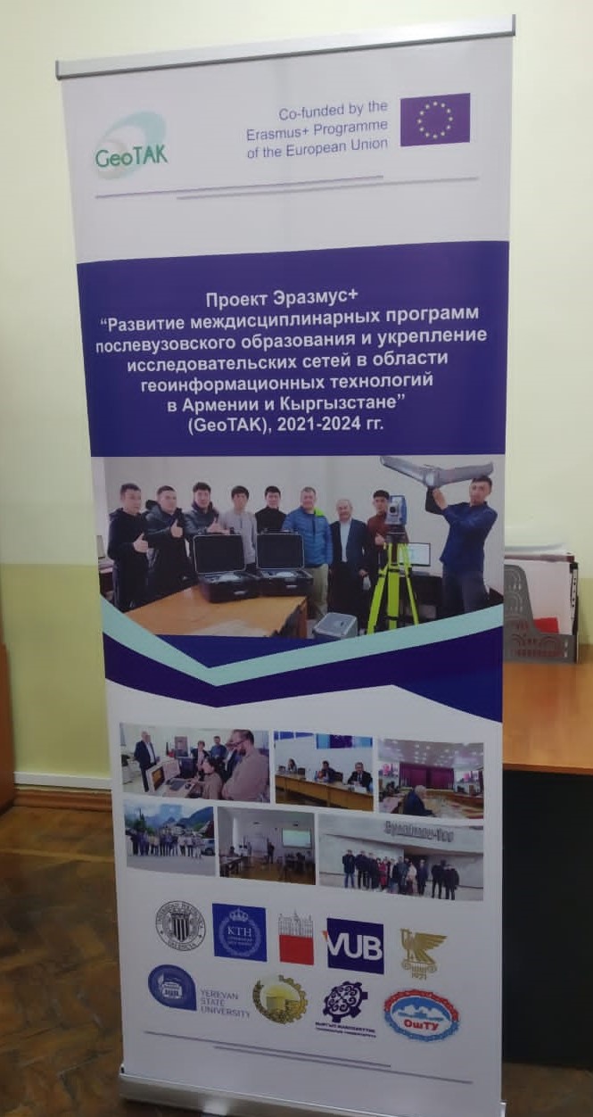
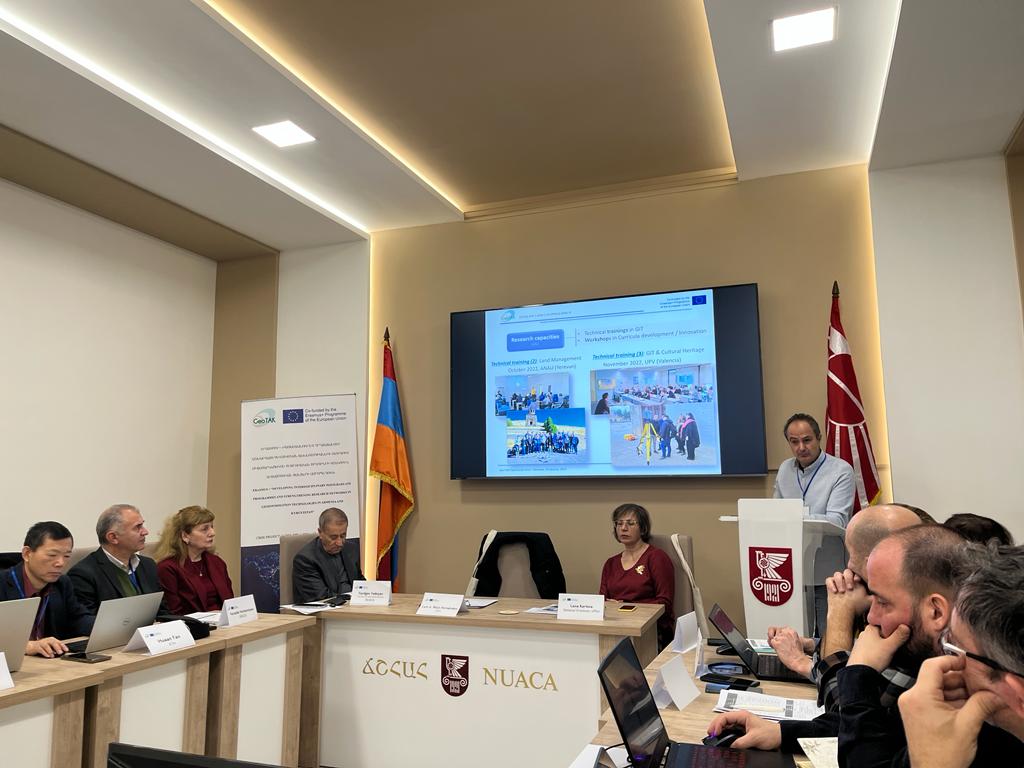
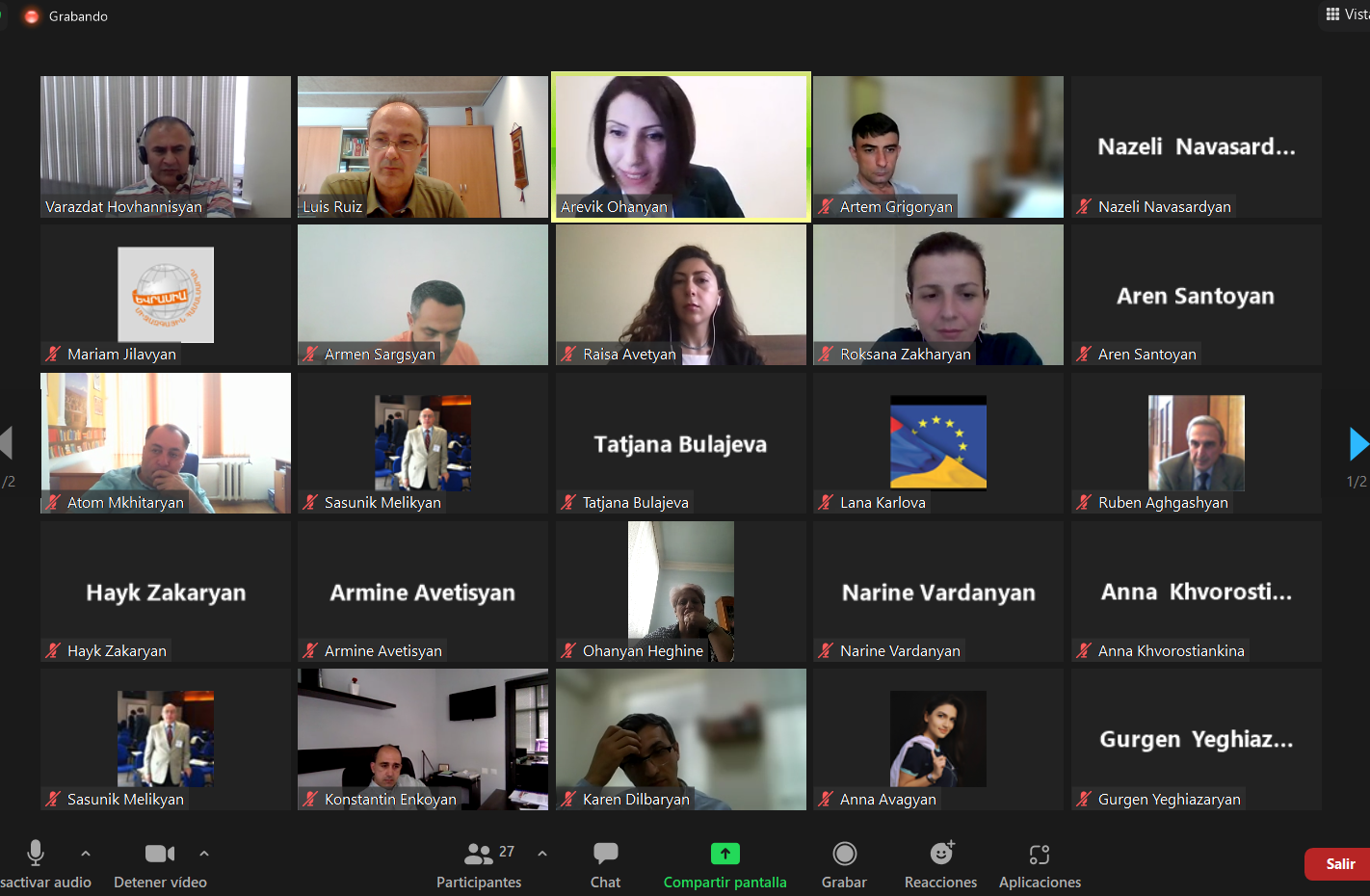
On January 9 and 10, 2024, the workshop ‘Sharing Experiences in Research and Innovation‘ was held at NUACA (Yerevan, Armenia). At this workshop, researchers and stakeholders representatives of companies and institutions using geo-information technologies from Armenia and Kyrgyzstan shared their experiences and opportunities in research, innovation, and development. The workshop was also attended by researchers from Spain, Slovenia, Sweden, Belgium, and Portugal, who shared the experience of their research groups in their respective universities.
The event was attended by almost one hundred people, who shared their experiences and opportunities in research, innovation, and development, obtaining comparative conclusions that will also be used for sustainability and exploitation purposes.
The Valencia course at UPV was focused on piloting new PhD courses in GIT by Armenian and Kyrgyz partners. This training was designed for local partners to teach one of the classes they will teach in their future Ph.D. courses. The European partners have contributed to the improvement of the courses with their comments and observations.
The course have been carried out:
Monday, December 4
- A theoretical and a practical class about ‘Cloud Technologies‘ by Artak Piloyan from YSU.
- A lecture on ‘Land Policy and Land Rearrangement’ by Gurgen Yeghiazaryan from ANAU.
- A presentation on ‘Quality assurance policies in Higher Education in Kyrgyzstan and Armenia‘ by Ainura Isidailova of the Ministry of Education of Kyrgyzstan, and Varazdat Hovanishyan of NUACA.
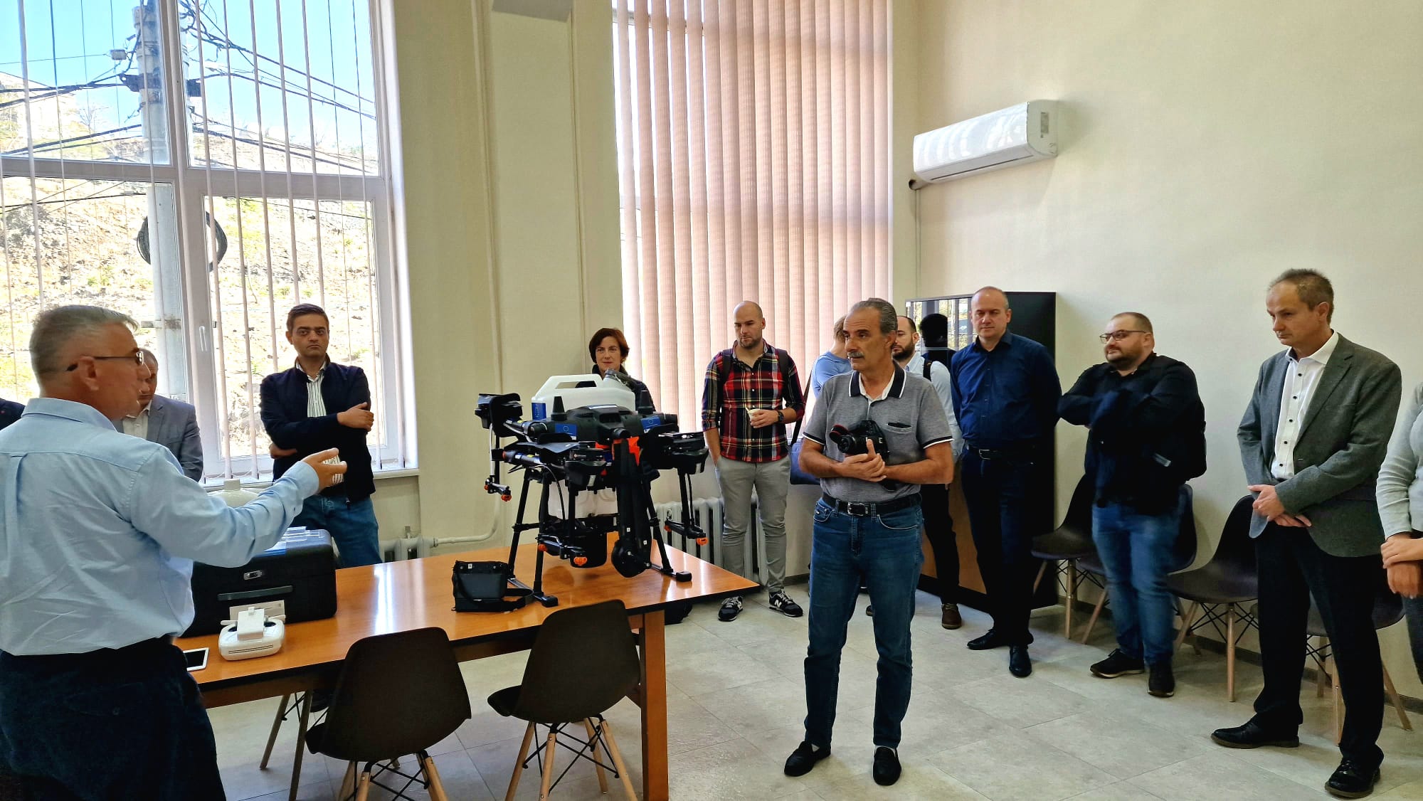
- A theoretical presentation of ‘Use of UAVs for mapping purposes’ by Seryozha Karapetyan of NUACA.
Tuesday, December 5
- A theoretical lecture on ‘Research Communication and Ethics’ by Professor Arusyak Gharibyan of ANAU.
- A lecture on ‘Tectonic modeling of landslide processes‘ by Prof. Talantbek Umarov from KSTU.
- A practical lecture on ‘Construction of geological model‘ with Micromine software by Prof. Urmat Kazatov from KSTU.
- A presentation on ‘State Institution for geodesy and cartography’ was given by the director of Goskartography Narynbek Isabekov.
- A theoretical and practical lecture by professors Stepan Khachatryan and Varazdat Hovanishyan of NUACA.
- And a theoretical and practical class on ‘Reference Systems in Geodesy‘ by professors Akylbeck Chymyrov and Narynbek Isabekov from KSTU.
On Wednesday 6th a technical visit was made.
On Thursday 7 classes resumed with the courses:
- ‘Earth Observations for studying Land-Cover and Land-Use Change (theory and practice)‘ taught by Matisakov Zhumakadyr and Gulshaan Ergeshova from OshTU.
- GIS for thematic mapping of the Issyk-Kul Lake basin‘ given by Professors Nursultan Ismailov and Saltanat Chymyrova from KSTU.
A total of 17 participants were selected: 5 persons from KSTU, 3 persons from NUACA, 2 persons each from ANUA, YSU, and OshTU, and 1 person from CCRA, Goscartography, and MOES. The event was also streamed online for teachers who were unable to attend in person.
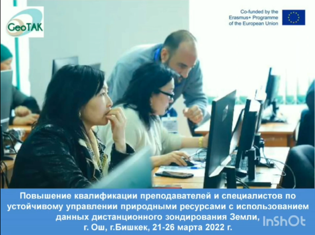
The technical training (6) in Kyrgyzstan was focused on Environmental monitoring and risk control. This training was divided into two parts, one held at OshTU University in Osh and the other at KSTU University in Bishkek.
- In Osh three topics were explained: “Point cloud classification” by professors Luis A. and Jesús Torralba from UPV, “Geospatial data modelling and analyses within GIS” by professors Jernej Tekavec and Anka Lisec from UL; and Jonathan Chan from VUB gave a class online on “Hyperspectral remote sensing in geology“. In parallel Huaan Fan from KTH gave lectures at KSTU on “Math for geomatics“, “Basic concepts in theory of errors“, “Error propagation“, “Least squares adjustment“, “Least squares adjustment” and “Non-linear observation equations“.
- In Bishkek, two topics were explained: “Remote sensing Change detection for environment” by Professors Luis A. and Jesús Torralba from UPV, and “Interoperability in GIS, geospatial databases” by Professors Jernej Tekavec and Anka Lisec from UL. In parallel Huaan Fan from KTH taught “Geodetic gravimetry” and “Geodetic reference systems (GRS)“.
The total number of participants selected were:
- In Osh (20): 9 persons from OshTU, 3 persons from NUACA, 2 persons from ANAU and KSTU and 1 person from YSU. In addition, 2 technicians from the Miniter of Emergency Situations and the Director of LLC “Geocenter”.
- In Bishkek (23): 15 persons from KSTU, 3 persons from NUACA and ANAU, and 1 person from OshTU and YSU.
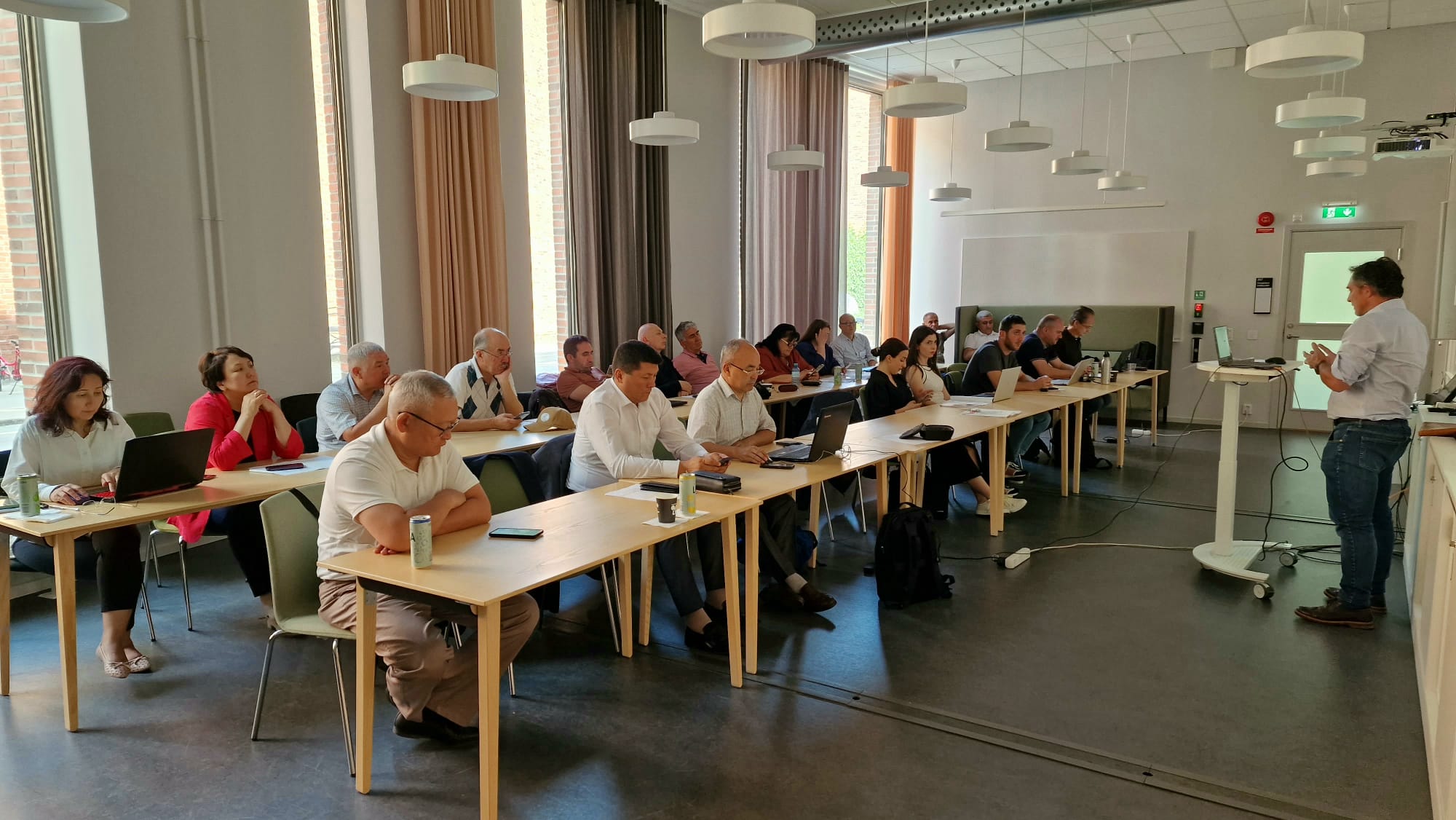
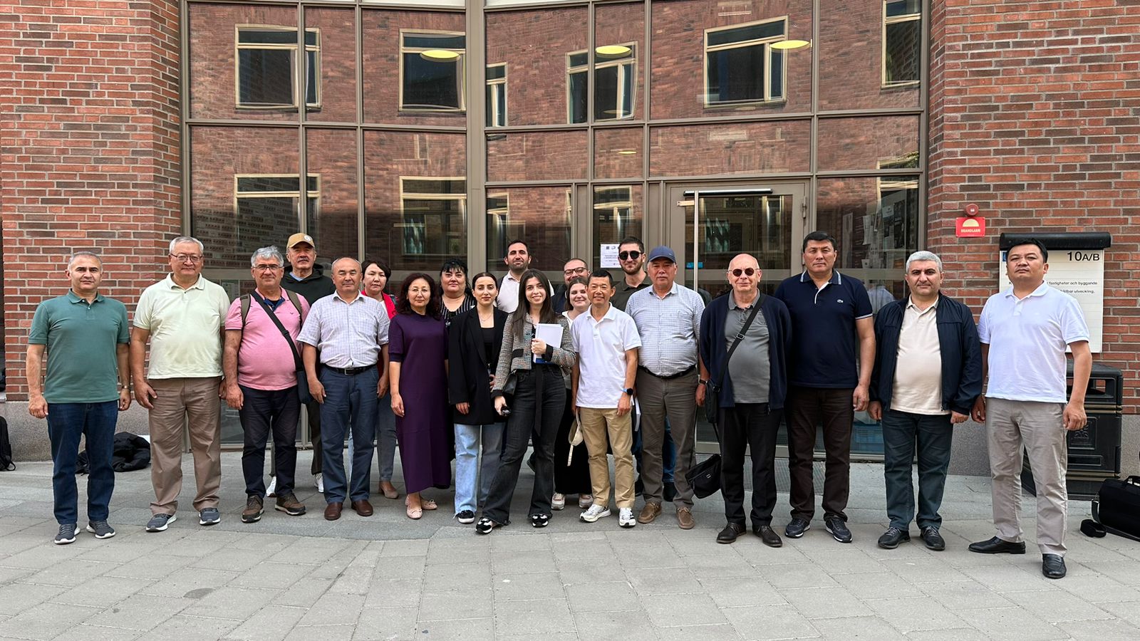
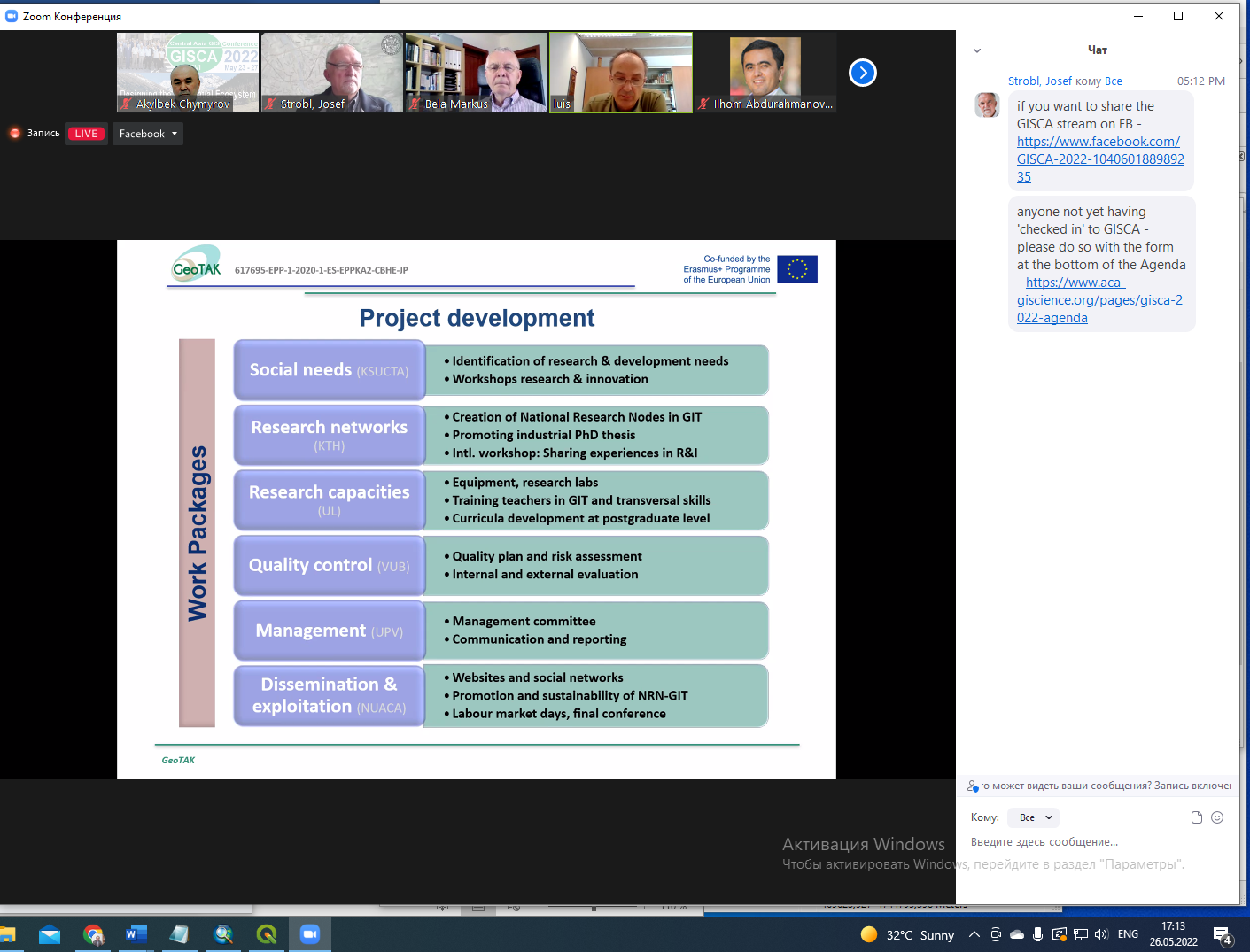
The Innovation and Entrepreneurship in Geographic Information Technologies (GIT) workshop in Stockholm was held on June 19-25, 2023. The workshop focused on several lectures on innovation and business models, several group works and Round Tables on university-industry cooperation in Armenia and Kyrgyzstan were held.
Specifically in the lectures were divided into two. First, professors Huaan Fan and Björn Berggren from KTH explained the following topics: “The knowledge triangle: education, research and innovation” and “Lectures on innovation and entrepreneurship“, respectively.
Wednesday began with a workshop on Innovation in geoinformation technology. In this workshop the following topics were discussed: “Fundamentals of building competitive and innovative ICT-centric ecosystems” by Carlos Machado from VUB, “Innovation-oriented higher education” and “Introduction to GIT entrepreneurship project work” by Professor Huaan Fan, from KTH, “Introduction to R+D+I programme Horizon Europe” by Professor Luis A. from UPV, “KTH’s experiences with industrial PhD studies” and “Survey and visualization of deformations of the Vasa Ship” by Milan Horemuz from KTH, and “University-industry cooperation in geoinformatics – projects and internships” by Professor Jonathan Chan from VUB.
A total of 20 participants were selected: 3 persons from NUACA, ANAU, YSU, OshTU, 8 persons from KSTU, 3 persons from NUACA, ANAU, YSU, KSTU and OshTU, 2 persons from Cadastre Committee of the Republic of Armenia, and 1 person from Ministry of Education of Armenia, Goscartography and from the Ministry of Education and Science of Kyrgyzstan.
In this task, each partner university has created interdisciplinary curricula in GIT at master and/or PhD level adapted to their needs, and developed course contents and teaching materials. The reform of curricula or creation of interdisciplinary doctorate per partner country university has focused in the application of new Geoinformation Technologies and modern equipment to the relevant research topics identified in WP1, integrating topics and involving external stakeholders from administration and industry in the definition of goals.
Curricula development:
Related activities:
- Inter-Project meeting between ARMDOCT and GeoTAK. The consortium members of Erasmus + ARMDOCT and GEOTAK projects co-funded by the EU met to discuss cooperation possibilities for the reform of Doctoral Education in Armenia and to strengthen the project outcomes on the national level. More News.
- Meeting in the Ministry of Education, Science, Culture and Sports of Armenia with the Deputy Minister. More News.
New course contents in GIS, applied photogrammetry, remote sensing, geodesy, 3D visualization, etc. are being developed. For each course, the following information is included: course name, semester, ECTS, learning objectives, competencies, prerequisites, theoretical lessons, practical exercises and projects, bibliography and other sources, faculty, and other information required by the regulations of each university.
Course description (Syllabus):
KSTU – KSUCTA (Geodesy and GeoInformation Technologies)
- Spatial Data Science: Syllabus
- Scientific Research Methodology: Syllabus
- Academic Writing and Communication: Syllabus
- Pedagogy and psychology of high school: Syllabus
- Critical thinking and research: Syllabus
- Introduction to Geospatial Programming: Syllabus
- Coordinate Systems in Geodesy: Syllabus
- Advanced Geoinformation Technologies: Syllabus
- Integrated Positioning and Navigation – Physical Geodesy: Syllabus
- Remote Sensing Applications in Land and Environmental Management – Spatial Data Infrastructure: Syllabus
KSTU – KSMU (Applied Geology)
- Spatial Data Science: Syllabus
- Scientific Research Methodology: Syllabus
- Academic Writing and Communication: Syllabus
- Modern Data Analysis Methods: Syllabus
- Digital Technologies in Applied Geology – Modeling of Geological Objects and Processes: Syllabus
- Advanced Geoinformation Technologies in Geology: Syllabus
- Innovative Methods and Technologies in Search and Exploration of Mineral Resources: Syllabus
- Modern Methods and Technologies of Remote Sensing in Geology: Syllabus
KSTU – KSMU (Mining)
- Spatial Data Science: Syllabus
- Scientific Research Methodology: Syllabus
- Academic Writing and Communication: Syllabus
- Research and application of software systems in mining: Syllabus
- Digital technologies in mine surveying: movement and deformation of rocks due to mining: Syllabus
- Advanced Geoinformation Technologies in Mining: Syllabus
- Perspective Geotechnologies for Open Pit Mining of Mineral Deposits: Syllabus
- Perspective Geotechnologies for Underground Mining of Mineral Deposits: Syllabus
OshTU (Cartography and GeoInformatics)
NUACA (Joint PhD Program on Geoinformation Technology)
YSU (Joint PhD Program on Geoinformation Technology)
ANAU (Joint PhD Program on Geoinformation Technology)
A quality assurance plan was developed by VUB partner country institution with the participation and support of other national partners and EU universities. The purpose was to foster the sustainability of curricula developed with the engagement of social stakeholders.
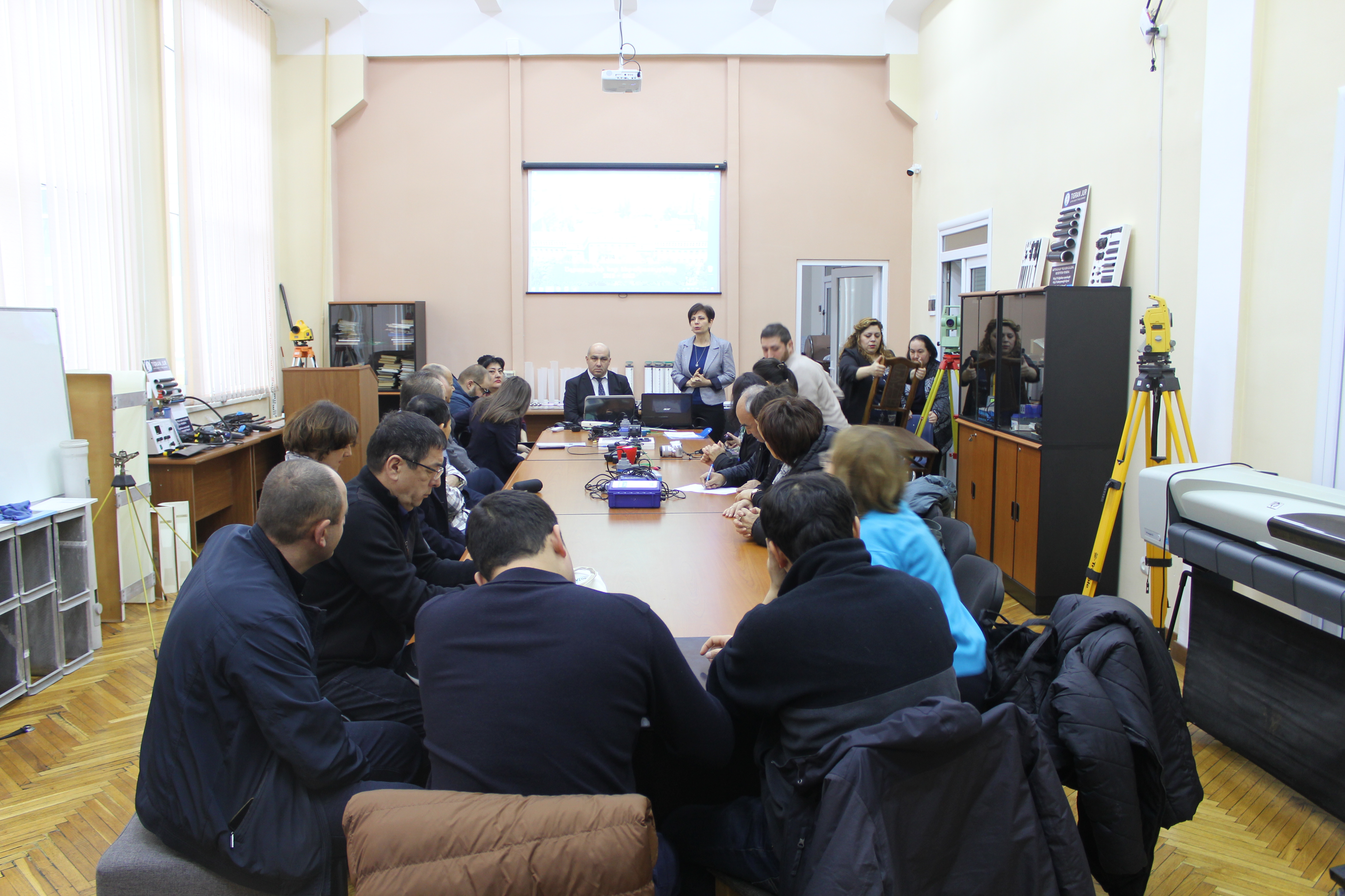
Field monitoring visits to organisations in the Partner Countries are particularly important in order to evaluate the impact of the project in these countries and to assess the sustainability prospects of the project outcomes.
These visits provided an opportunity to ensure sound and effective management of the CBHE funds and at the same time provided increased visibility of the EU support in the target countries.
Some of the activities carried out during the visits to the Partner Countries were:
- Received feedback and reports from partners about the development of project activities and potential problems
- Meeting were held with students and social stakeholders to collect opinions about project implementation and dissemination
- Analysed the relationship between partners and identify communication lacks
- Discussed and proposed solutions to improve the efficiency of the project
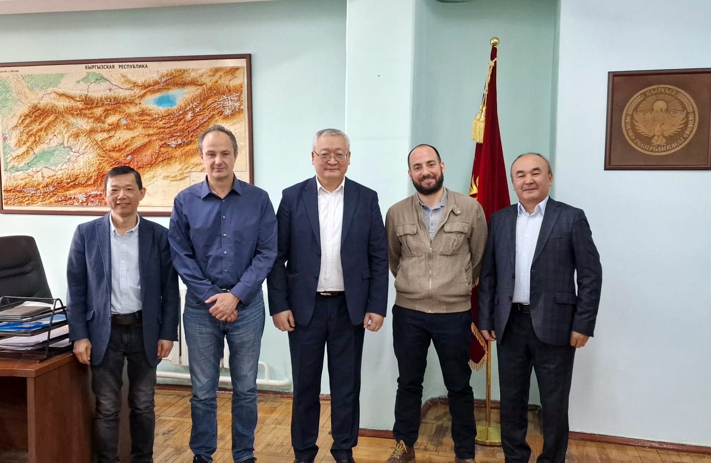
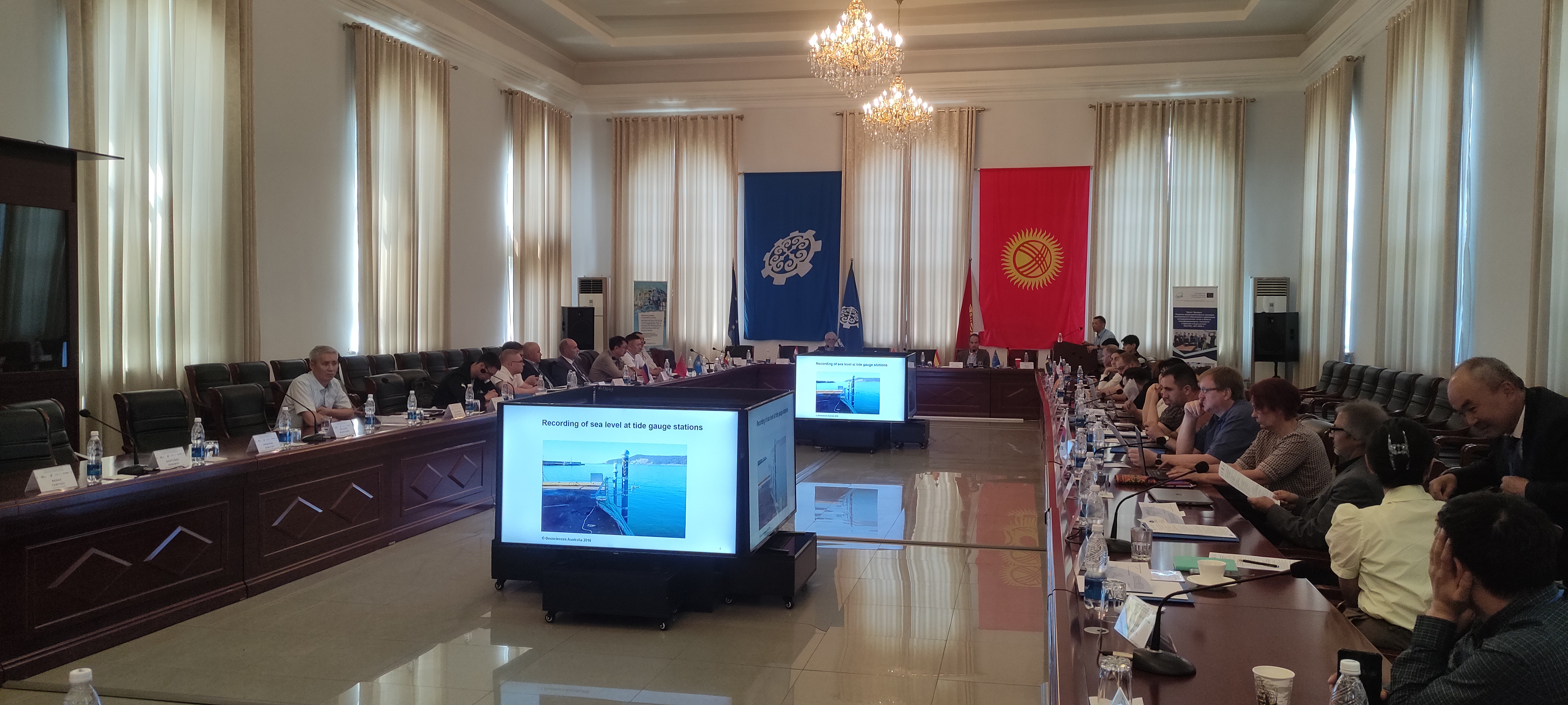
European partners visit Goscartography in Biskek on March 26th, 2022. More news.
Meeting with the Rectors of ANAU, NUACA and YSU on October 14th, 2022. More news.
Meeting with the Rector of OshTU on June 1st, 2023, to discuss the implementation of the new Ph.D. program and the activities carried out in the IWM laboratory created by the project in 2022.
Meeting with OshTU teachers to monitor curriculum development, June 3 2023. Attendance list.
Meeting with the professors of KSTU on June 6th, 2023, to discuss the programs of subjects of the new Ph.D. program and the activities carried out in the GIT laboratory created by the project in 2022. Attendance list.
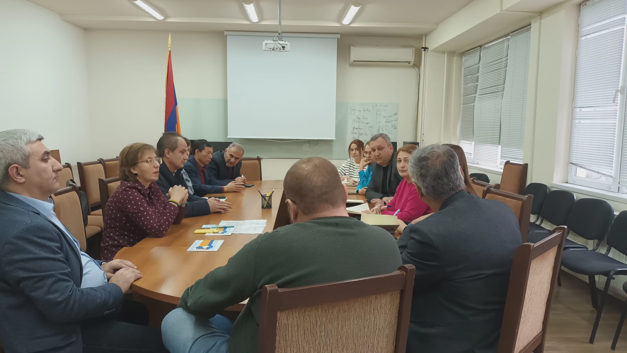
Regular activities related to planning, implementation, evaluation and reporting between coordinator and partners were carried out throughout the project.
The project management committee held sixteen meetings throughout the project, 9 online and 7 in situ. To be cost-effective, the last ones were scheduled in conjunction with other project activities.
At the meetings, the working group leader presented reports of the work done, discussed the activities, and developed work plans for upcoming activities for the next few months.
Project Management Meeting Online (February 11 and 12, 2021)
Project Management Meeting Online (March 26, 2021)
Project Management Meeting Online (May 7, 2021):
Project Management Meeting Online (June 24, 2021):
Project Management Meeting Online (October 29, 2021):
Project Management Meeting Online (January 21, 2022):
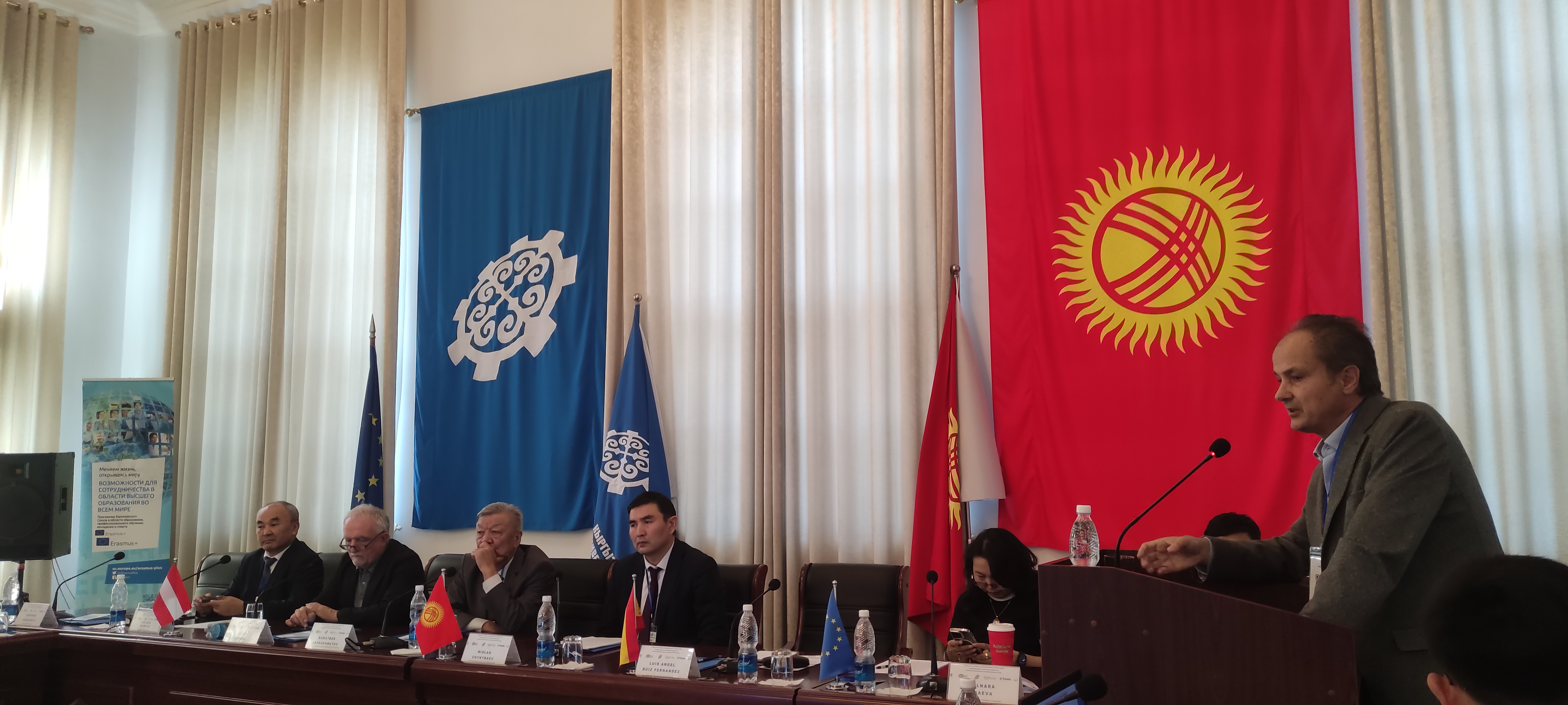
Project Management Meeting in KSUCTA, Bishkek (March 26, 2022):
Project Management Meeting in UL, Ljubljana (June 14, 2022):
Project Management Meeting in NUACA, Yerevan (October 14, 2022):
Project Management Meeting in UPV, Valencia (November 29, 2022):
Project Management Meeting online (March 10, 2023):
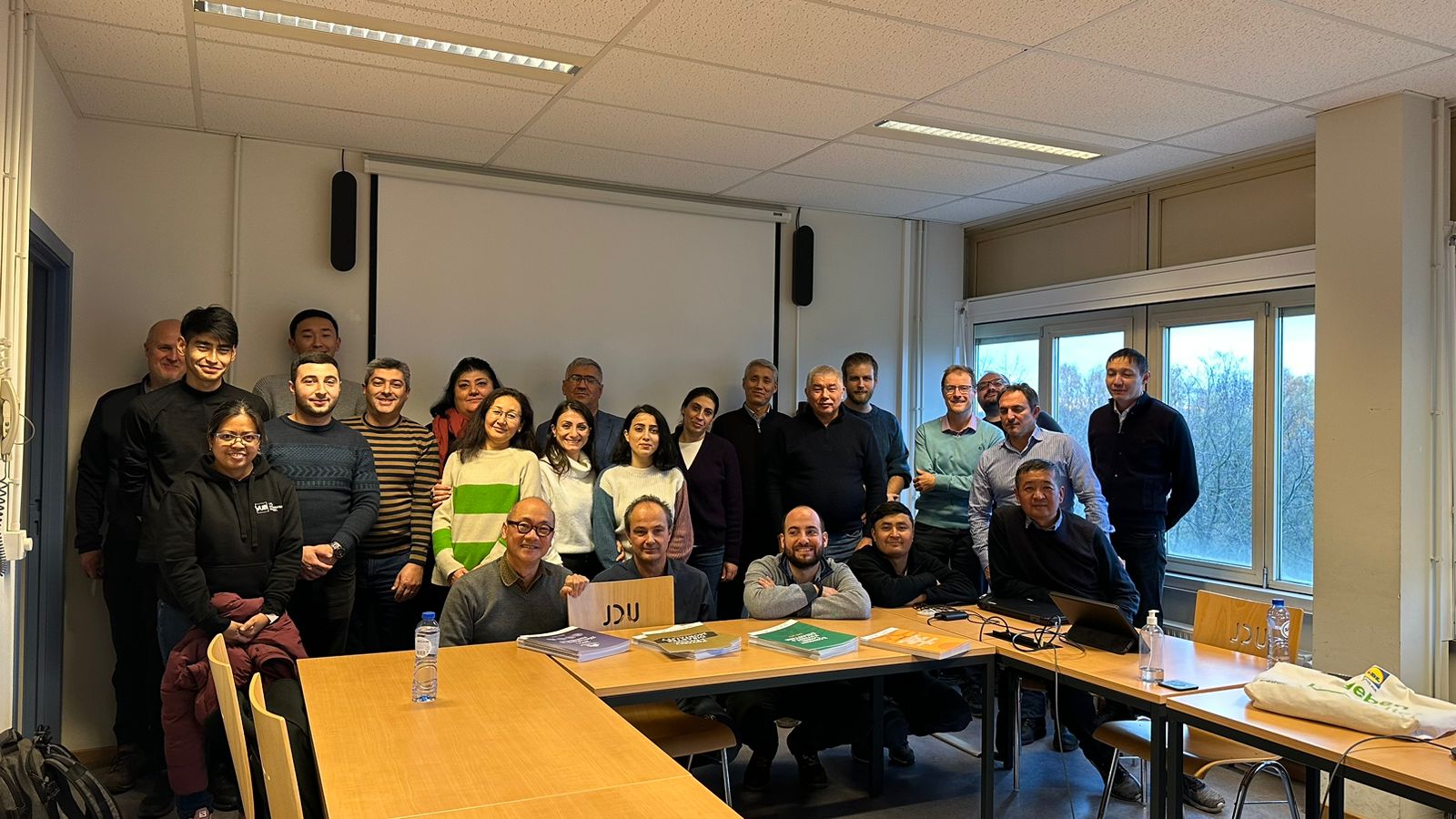
Project Management Meeting in KTH, Stockholm (June 21, 2023):
Project Management Meeting online (October 20, 2023):
Project Management Meeting online (November 24, 2023):
Project Management Meeting in UPV, Valencia (December 7, 2023):
Project Management Meeting in NUACA, Yerevan (January 11, 2024):
One-on-one meetings were organised among partners as a complement to the project management meetings, in order to face specific aspects or management problems of the project that required fast communication.
The Dissemination & Exploitation plan has been prepared.
In Armenia and Kyrgyzstan, local partners have held events or disseminated news to promote the GeoTAK project.
- Dissemination video and poster of the activities carried out in the framework of the GeoTAK project by the universities of KSUCTA, KSMU and OshTU on the Erasmus days.
- Visit to the Centre for Research on the Epidemiology of Disasters (CRED). In this Center, the Armenian and Kyrgyz partners were able to see the work that CRED has been developing for more than 40 years in the fields of international disaster and conflict health studies, with activities linking relief, rehabilitation and development. CRED also had the opportunity to learn about the GeoTAK project so that joint activities can be developed in the future.
- The Cadastre Committee of the Republic of Armenia announces on its website its support for the pilot Ph.D. program in the field of Geographic Information Technologies with specializations “Geodesy, including cartography and cadastre” and “Geography” between three universities of Armenia: National University of Architecture and Construction of Armenia, Yerevan State University and National Agrarian University of Armenia.
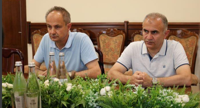
- On June 29, 2023, within the framework of the GeoTAK project, GeoTAK project coordinator Luis Á. Ruiz, Professor Francisco Buchon of the Polytechnic University of Valencia, and the Armenian coordinator Varazdat Hovhannisyan were at the Cadastre Committee to finalize aspects of the industrial Ph.D.
- More news
- On June 29, 2023, within the framework of the GeoTAK project, GeoTAK project coordinator Luis Á. Ruiz, Professor Francisco Buchon of the Polytechnic University of Valencia, and the Armenian coordinator Varazdat Hovhannisyan were at the Cadastre Committee to finalize aspects of the industrial Ph.D.
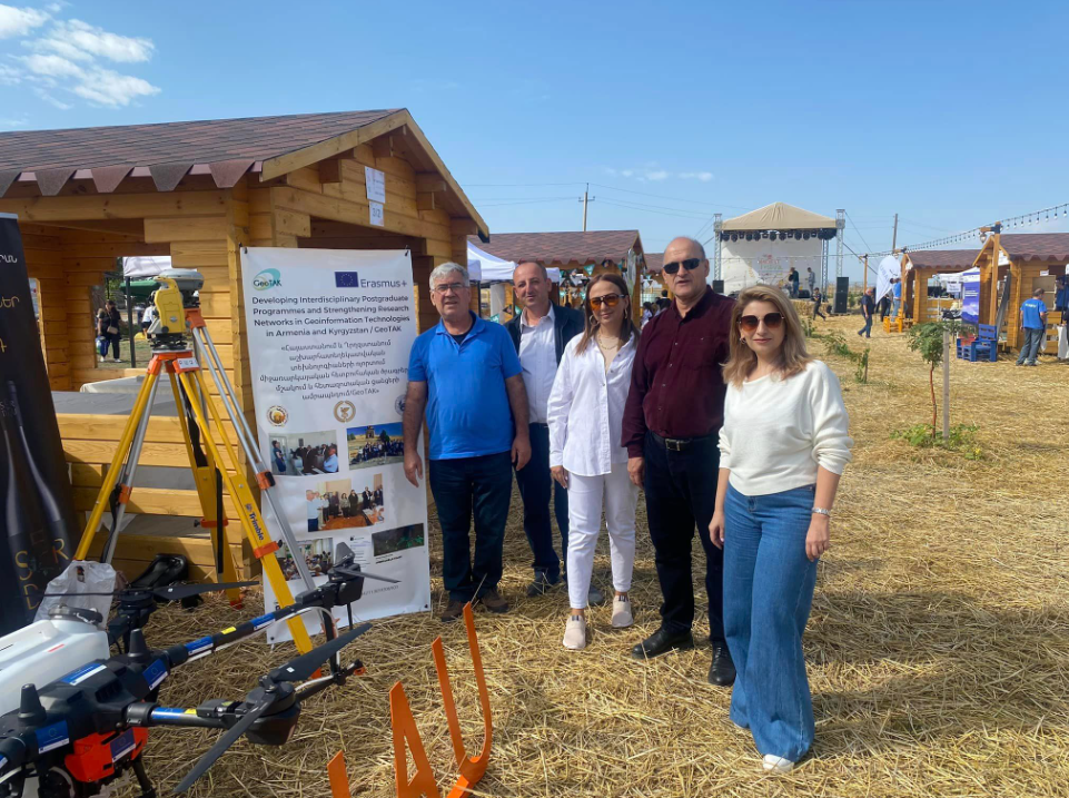
- ANAU presented the GeoTAK project at Harvest Festival: Rural Life and Traditions in September 2023. More news.
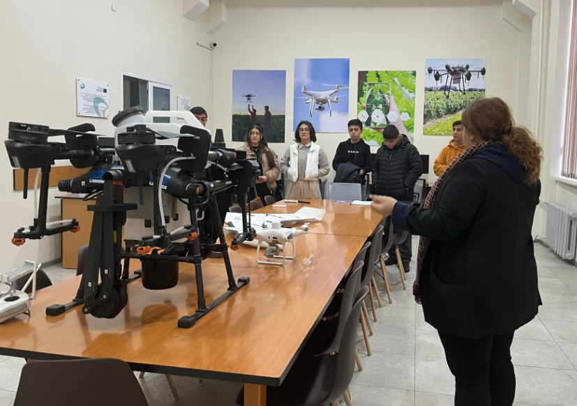
- ANAU hosts high school students at the GIT lab to promote and promote the university. More news.
- A meeting was held with all partners to finalize the agenda for the final events of the project to be celebrated on January 8-12, 2024, in Yerevan, Armenia.
- A total of 19 news items have been published on the ANUA website related to: 1) the participation of ANUA professors in GeoTAK activities, 2) the events in which ANAU has participated and publicized the GeoTAK project, the new GIT laboratory, and the new Ph.D. program.
Three main project websites were done by UPV, KSUCTA and NUACA connected to other informative websites in partner and programme country universities and UPV, as coordinator. To create and maintain the web pages, the project considered:
- The structure and contents of the websites were defined by all partners.
- The management committee of the project is in charge of coordinating the continuous update of the information.
- An intranet is included for internal communication on the main website.
The web pages and WhatsApp group will be maintained until the end of the project and beyond to support sustainability.
Publication of news related to project activities in social networks:
- Technical training (3) in Armenia on Land:
- Meeting at the Higher Education and Science Committee MESCS (2022), Republic of Armenia
- GISCA 2023 conference (GIS-in-Central-Asia Conference in Bishkek (Kyrgyzstan)
- Technical training (6) in Kyrgyzstan on Environmental monitoring and risk control:
- Innovation and Entrepreneurship in GeoInformation Technology (GIT):
- Project final events in Armenia:
- International Workshop – Sharing experiences in R&I on GIT
- Meeting with the authorities of YSU, ‘’Earth Observation Laboratory’’ Opening Ceremony
- Visit to ANAU
- Visit to Cadastre Committee
- Meeting at the Higher Education and Science Committee MESCS (2024), Republic of Armenia
In this activity, digital and printed promotion booklets and brochures of the GeoTAK project were published in partner countries.
NRN-GIT was promoted by booklets, brochures and reports, by involved partners. Continuing education was advertised by mailing, in digital form and short descriptive digital brochures to target stakeholders. Electronic technical booklets were published through the internet and distributed.
NRN-GIT dissemination activities:
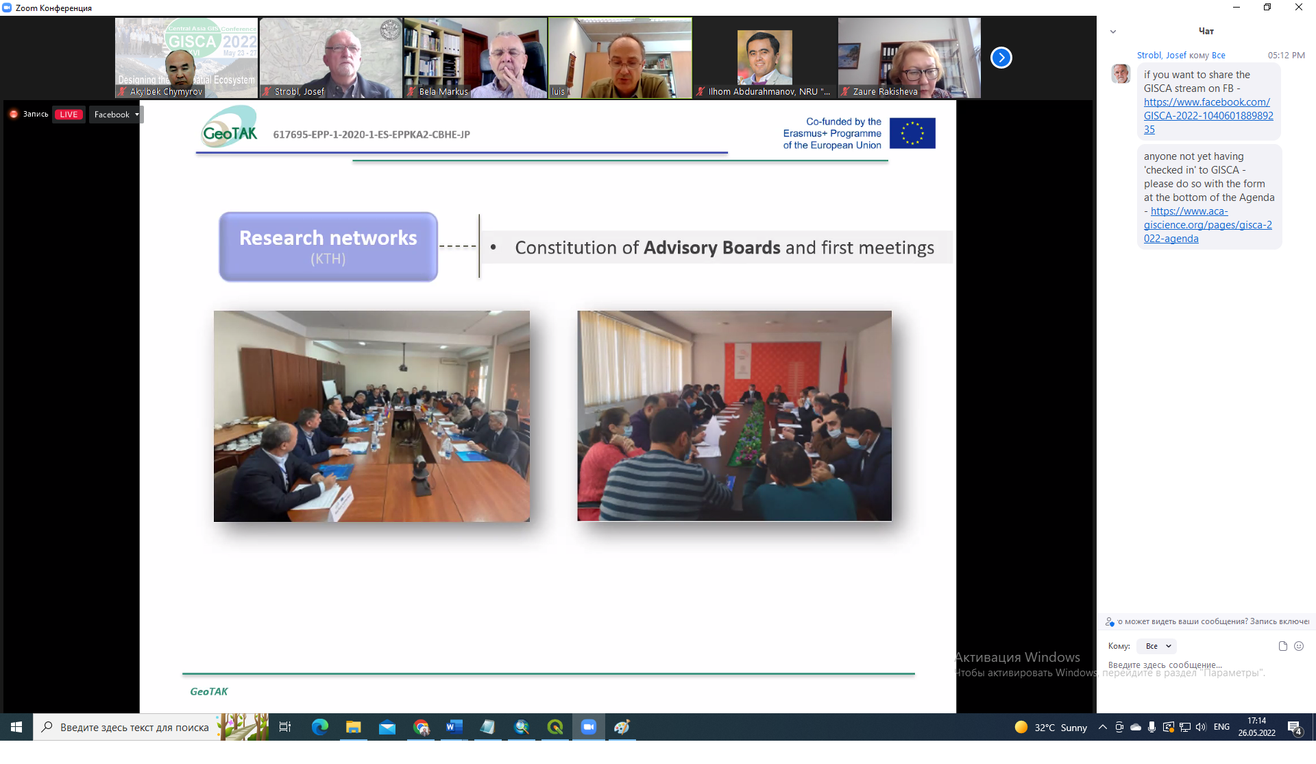
- Meeting at the cadaster Committee of the RA with stakeholders, presenting the results of the survey in GIT and debating the missions of the NRC in AR. More news.

- GeoTAK NRN-GIT in GIS in Central Asia Conference (GISCA) 2022. Presentation and more News.
- Dissemination video and poster of the activities carried out in the framework of the GeoTAK project and the NRN-GIT by the universities of KSUCTA, KSMU and OshTU on the Erasmus days.
- The GeoTAK project was presented at the Central Asia GIS Conference – GISCA 2023: “Geospatial approaches to understanding a changing world” in a special session. In this session, a member of each of the GeoTAK project partners presented different aspects of the project.
- Agenda
- Attendance list.
- News: GeoTAK Spain and GeoTAK Kyrgys websites
- Presentations
- “GeoTAK project: towards new Ph.D. programmes and technology transfer in Geoinformation” given by Prof. Luis A. Ruiz from UPV.
- “Urban mapping through object-based image analysis” given by Prof. Luis A. Ruiz from UPV.
- “Identification and analysis of research and development needs of Postgraduate Programs in Geoinformation Technology” given by Dr. Akylbek Chymyrov from KSTU.
- “Water level variations in the Issyk-Kul Lake and the role of climate variables” given by Huaan Fan from KTH.
- “Laser scanner and UAV high-density point clouds for forest inventory and management” given by Jesús Torralba Pérez from UPV.
- “Assessing Spatio-temporal changes of floating aquatic vegetation in lake Sevan using Landsat imagery and vegetation indices” given by Artak Piloyan from YSU.
- “The Application of GIT in the fields of environmental protection” given by Armine Hambardzumyan from ANAU.
- “Agricultural land use dynamics -A case study of Kumkurgan District, Uzbekistan” given by Alina Tynybekova from KSTU.
- “Application of innovative technologies for determining and assessing the quality of civil objects” by Ulan Chotombaev from KSTU.
- The GeoTAK project was presented at the Central Asia GIS Conference – GISCA 2023: “Geospatial approaches to understanding a changing world” in a special session. In this session, a member of each of the GeoTAK project partners presented different aspects of the project.
- On July 7, 2023, the meeting of the Geomatics Center of the Cadastre Committee of the advisory board of the National Spatial Data Infrastructure of the Integrated Cadastre was held under the chairmanship of the Committee, with the participation of the universities involved in the GeoTAK project. More news.
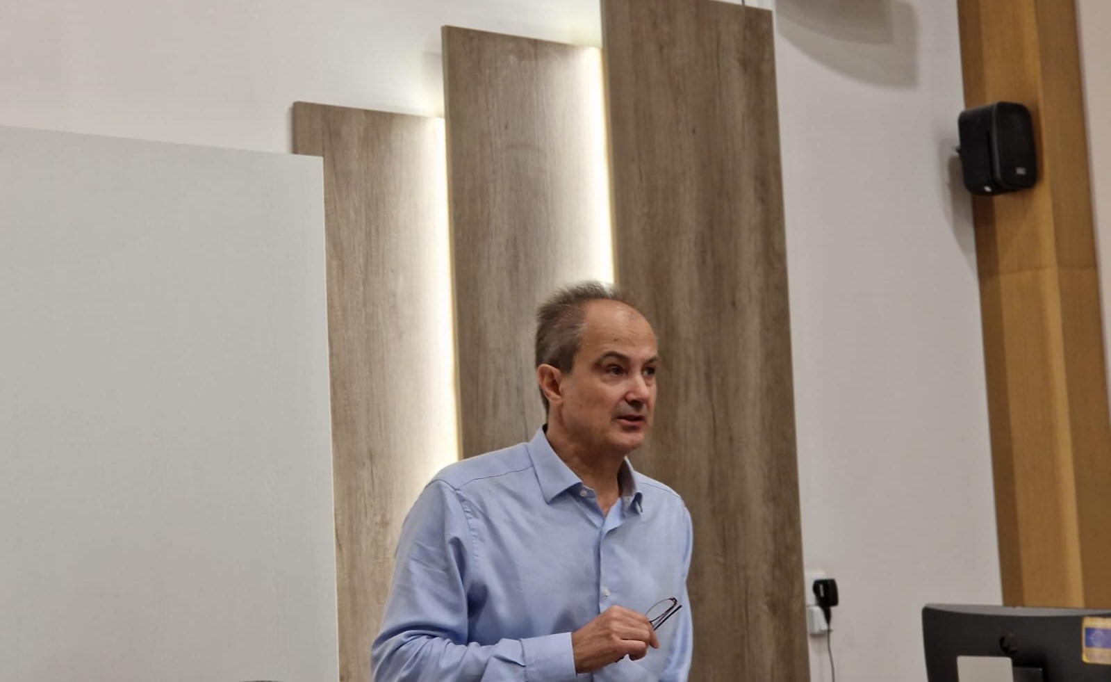
The final dissemination conference was held in Yerevan on January 10, 2014, organized by NUACA and attended by university staff and students, Industry and GIT professionals, Agencies, and national administrations. The conference began with welcome addresses of the vice-rector of the National University of Architecture and Construction of Armenia, Mr. Vardges Yedoyan, the Head of the Erasmus+ National Office of Armenia, Ms. Lana Karlova, and the project coordinator, Prof. Luis A. Ruiz.
During the conference, the project’s results were presented, highlighting sustainability issues and potential benefits for society and trying to promote links and future collaborations between local and international stakeholders.
This conference was held just after the International Workshop ‘Sharing experiences in R&I on GIT’, to attract more people and stakeholders and to maximize the travel budget.
This task force is focusing on promoting the maintenance of the project’s achievements and philosophy in the long term, involving the Advisory Board, higher education institutions, students and society in promoting ideas and activities that will ensure sustainability. The cooperation agreement following the creation of NRN-GIT, is being signed by universities, industry and administration, future research collaboration activities and standards have been defined, and an important link is being created for the exploitation and sustainability of the project. During the project, meetings and workshops are being scheduled to engage stakeholders and promote sustainability.
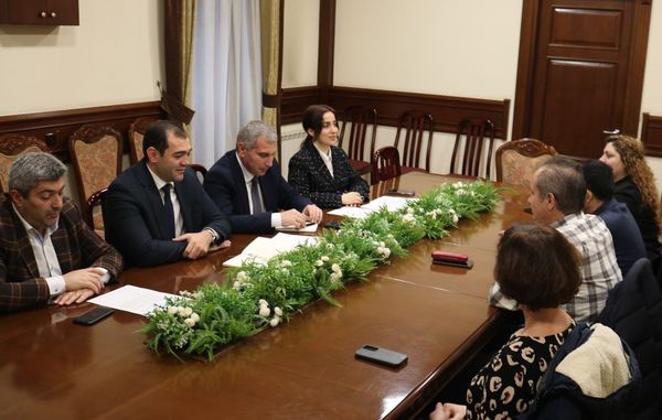
- Meeting of the project management committee with the Deputy Ministry of Education of Armenia, to facilitate the beginning of a piloting PhD joint programme. More news.
- Meeting in Goscartography to analyze national needs in KG and focus GeoTAK actions and trainings. More news.
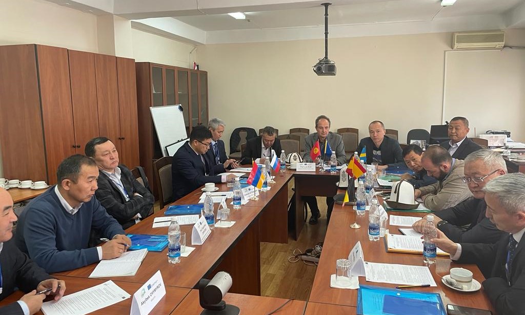
- Meetings of the project management committee with the rectors of the 6 PC universities, consolidating their support and fostering sustainability. More news.
- Agreement between KSTU and NUACA on joint academic programs, project work and students and teachers mobility (.pdf).
- Agreement between KSTU and Goskartography for the implementation of industrial Ph.D. (.pdf).
- Meeting with the authorities and team of ANAU. More news.
- Meeting of the project management committee with the Deputy Ministry of Education of Armenia, to initiate the piloting Ph.D. joint programme. More news.
- Meeting in Cadastre Committe to consolidate the industrial Ph.D. agreement. More news.