In this activity, digital and printed promotion booklets and brochures of the GeoTAK project were published in partner countries.
NRN-GIT was promoted by booklets, brochures and reports, by involved partners. Continuing education was advertised by mailing, in digital form and short descriptive digital brochures to target stakeholders. Electronic technical booklets were published through the internet and distributed.
NRN-GIT dissemination activities:
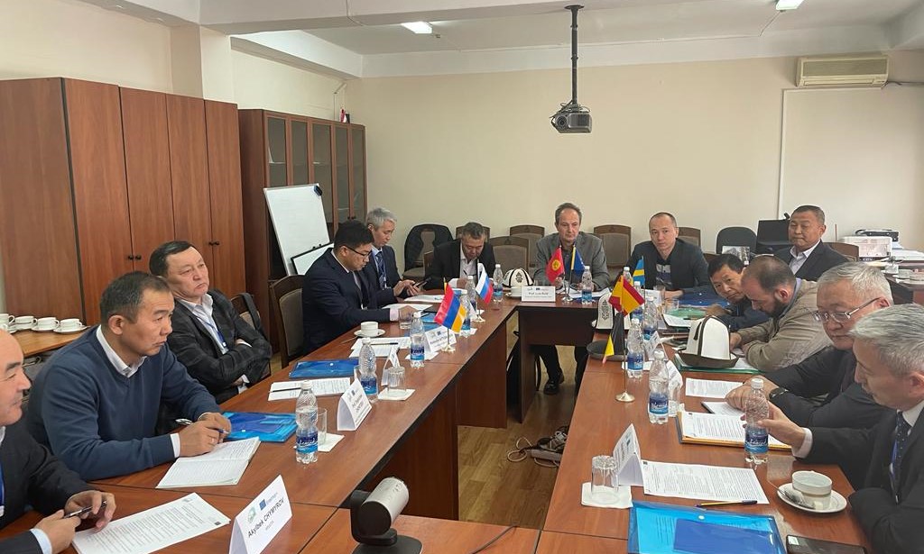
- Skateholder meeting in the Kyrgyz State University of Construction, Transport and Architecture (KSUCTA) in Biskek, to foster the advance of future activities. Agenda and more news.

- Meeting at the cadaster Committee of the RA with stakeholders, presenting the results of the survey in GIT and debating the missions of the NRC in AR. More news.

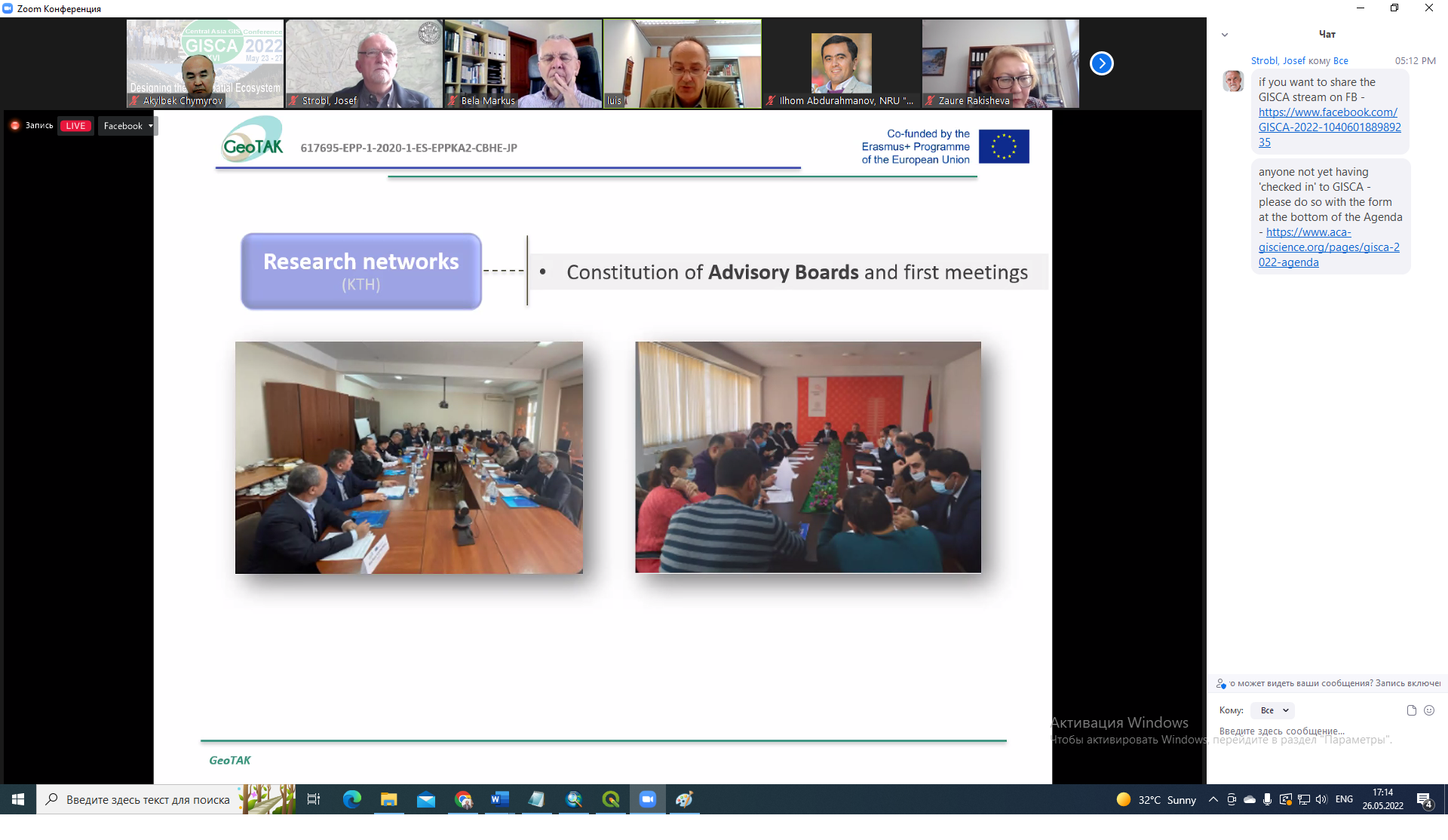
- GeoTAK NRN-GIT in GIS in Central Asia Conference (GISCA) 2022. Presentation and more News.

- Participation in Kick-off meeting in Armenia, organized by the NEO in Armenia. Agenda.
- Participation in Kick-off meeting in Kyrgyzstan, organized by the NEO in Kyrgyzstan.
- Dissemination video and poster of the activities carried out in the framework of the GeoTAK project and the NRN-GIT by the universities of KSUCTA, KSMU and OshTU on the Erasmus days.

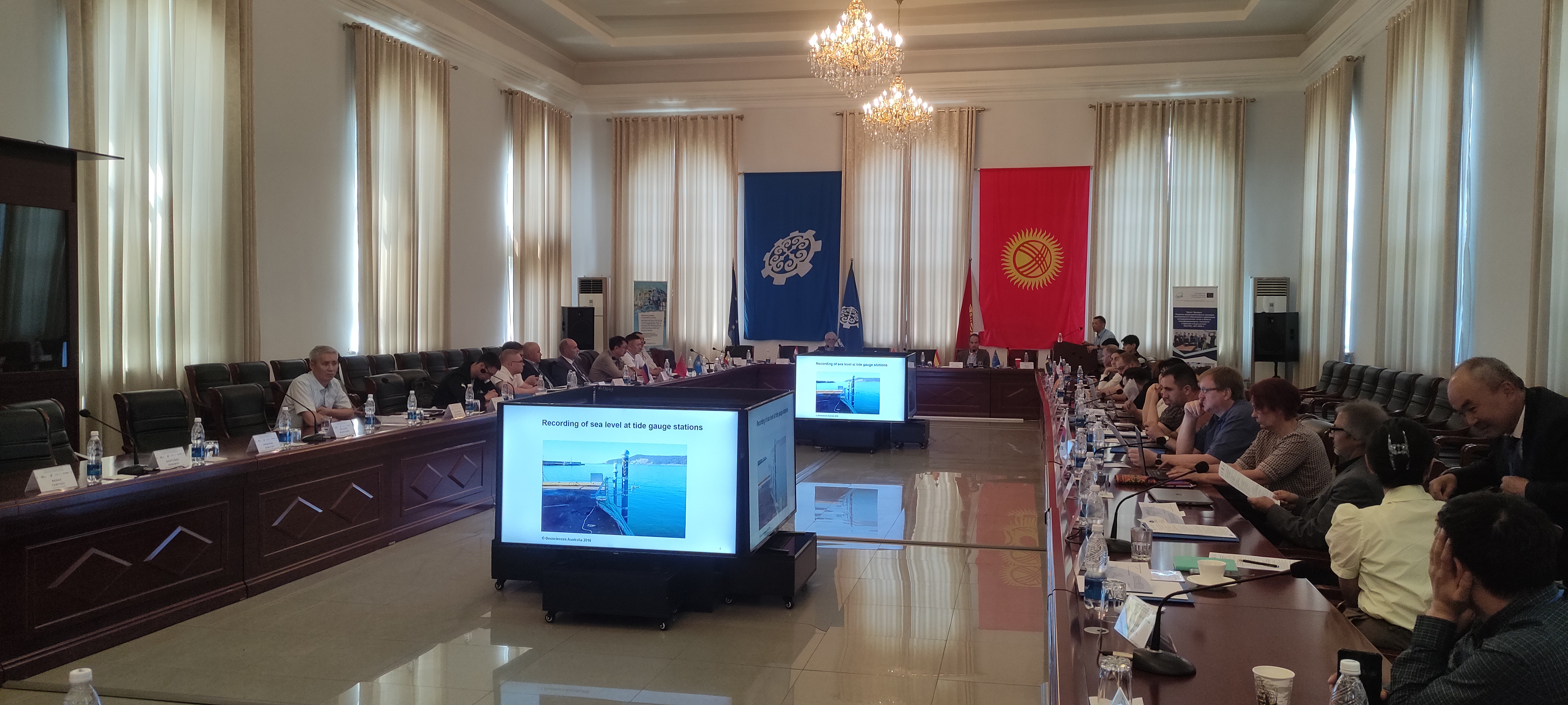
- The GeoTAK project was presented at the Central Asia GIS Conference – GISCA 2023: “Geospatial approaches to understanding a changing world” in a special session. In this session, a member of each of the GeoTAK project partners presented different aspects of the project.
- Agenda
- Attendance list.
- News: GeoTAK Spain and GeoTAK Kyrgys websites
- Presentations
- “GeoTAK project: towards new Ph.D. programmes and technology transfer in Geoinformation” given by Prof. Luis A. Ruiz from UPV.
- “Urban mapping through object-based image analysis” given by Prof. Luis A. Ruiz from UPV.
- “Identification and analysis of research and development needs of Postgraduate Programs in Geoinformation Technology” given by Dr. Akylbek Chymyrov from KSTU.
- “Water level variations in the Issyk-Kul Lake and the role of climate variables” given by Huaan Fan from KTH.
- “Laser scanner and UAV high-density point clouds for forest inventory and management” given by Jesús Torralba Pérez from UPV.
- “Assessing Spatio-temporal changes of floating aquatic vegetation in lake Sevan using Landsat imagery and vegetation indices” given by Artak Piloyan from YSU.
- “The Application of GIT in the fields of environmental protection” given by Armine Hambardzumyan from ANAU.
- “Agricultural land use dynamics -A case study of Kumkurgan District, Uzbekistan” given by Alina Tynybekova from KSTU.
- “Application of innovative technologies for determining and assessing the quality of civil objects” by Ulan Chotombaev from KSTU.

- On July 7, 2023, the meeting of the Geomatics Center of the Cadastre Committee of the advisory board of the National Spatial Data Infrastructure of the Integrated Cadastre was held under the chairmanship of the Committee, with the participation of the universities involved in the GeoTAK project. More news.
